
Africa by Bartholomew
Back to: Antique maps of Africa >

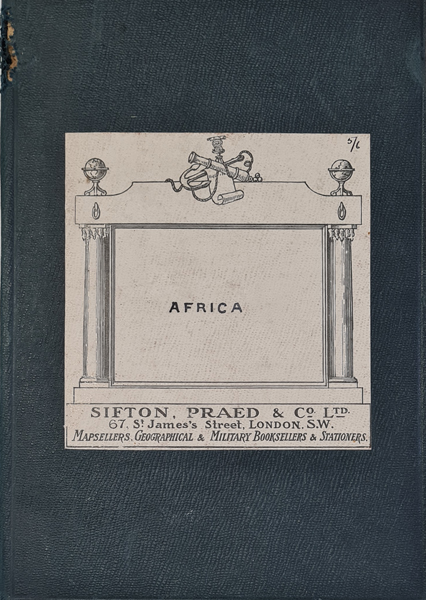
Title: Political Map of Africa by F. G. Bartholomew F.R.G.S.
Publication: Sutton Praed & Co. Ltd.
Date: c.1898
Description: Extensive political map of the continent of Africa, detailed inserts featuring Ascension Island, St. Helena, Gibraltar, River Nile, Sierra Leone, Cape Town, British Isles, Ashanti and Cairo. Coloured coded to indicate the colonial influences of the 19th and early 20th centuries.
Condition: Dissected and laid on linen, photolitho print, hard back cover with some wear.
Image size: 775 x 730mm, 30.5 x 28.75" approx.
£395.00
Order No. 4205
Click here for framing suggestions
Large antique map of Africa by Bartholomew
Opening Hours:
Mon - Closed
Tues-Fri 10am-1.30pm, 2.30-5.30pm
Sat 10am-1.30pm
© Devonshire Fine Art
Mon - Closed
Tues-Fri 10am-1.30pm, 2.30-5.30pm
Sat 10am-1.30pm
© Devonshire Fine Art
 Free UK Mainland Delivery*
Devonshire Fine Art
9 Church Street
Modbury
Devon PL21 0QW. UK
01548 830872
9 Church Street
Modbury
Devon PL21 0QW. UK
01548 830872


