
Antique Maps of the Pacific Islands
Pacific Islands antiquemaps and charts for sale.
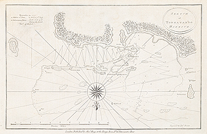
Tongataboo Harbour after Capt. Cook
Thomas Bowen
c.1785
SOLD

Tonga Islands after Capt. Cook
Thomas Bowen
c.1785
£115.00

Duff Islands - Solomon Islands
surveyed and drawn by Captain James Wilson, engraved Thomas Foot
1799
SOLD
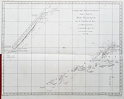
New Hebrides and New Caledonia - Captain Cook's Voyage 1774
Bernard
c. 1780
SOLD

New Guinea and New Britain
Capt. Cook
c.1773
SOLD
Antique Charts of the Pacific Islands for sale
Opening Hours:
Mon - Closed
Tues-Fri 10am-1.30pm, 2.30-5.30pm
Sat 10am-1.30pm
© Devonshire Fine Art
Mon - Closed
Tues-Fri 10am-1.30pm, 2.30-5.30pm
Sat 10am-1.30pm
© Devonshire Fine Art
 Free UK Mainland Delivery*
Devonshire Fine Art
9 Church Street
Modbury
Devon PL21 0QW. UK
01548 830872
9 Church Street
Modbury
Devon PL21 0QW. UK
01548 830872


