
Antiques Maps of Hertfordshire
Hertfordshire Antique Decorative maps - embellished with heraldry, the Thomas Moule maps are the last decorative county maps, published in the middle of the 19th century.
Antique maps of Hertfordshire 17th to 19th Century - Historical
- Cartographers include Robert Morden, Thomas Moule, Joan Blaeu, Emanuel Bowen.
- Place names include Hertford, Hitchin, Ware, St. Albans, Stevenage, Hemel Hempstead, Rickmansworth, Watford.
- Hand coloured steel and copperplate line engravings.
- Our maps range from the early 17th to the mid 19th century.
Click on an image or link for more details or to purchase. FREE UK Delivery 

Hertfordshire
Thomas Moule
c.1830 - 50
£75.00

Hertfordshire
Joan Blaeu
c.1645
£395.00
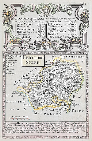
Hertfordshire
Owen and Bowen
c.1720
£60.00
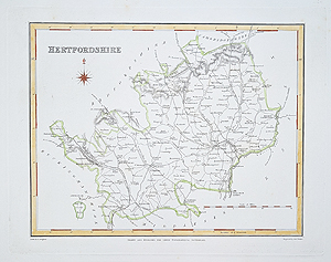
Hertfordshire
Robert Creighton and J & C Walker
C.1831
£34.95
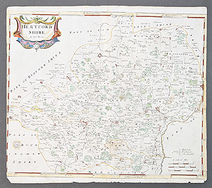
Hertfordshire
Robert Morden
C.1722
£115.00
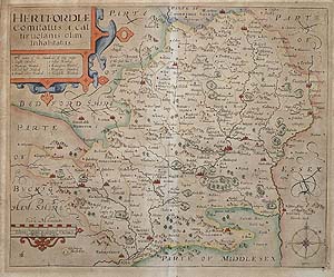
Hertfordshire
John Norden and William Kip
C.1637
SOLD
Antique Maps of Hertfordshire for sale
We have a fine selection of antique maps of Hertfordshire from the 17th to 19th century. Prices from £35.00 to £395.00 with free UK delivery and worldwide shipping at cost. Some very decorative examples including the 17th century map by Joan Blaeu published during the civil war featuring armorals and and a decorative title cartouche with figures, hand coloured. The small caounty map by Emanuel Bowen and John Owen features St. Albans, Watford, Rickmansworth, Hertford, Bishop Stortford, Waltham Abbey etc, road map Newmarket to Swaffham verso. If you are looking for that special, personal gift related to Hertfordshire these antique maps will stand the test of time. An extensive range spanning 270 years.
Mon - Closed
Tues-Fri 10am-1.30pm, 2.30-5.30pm
Sat 10am-1.30pm
© Devonshire Fine Art
Free UK Mainland Delivery*
9 Church Street
Modbury
Devon PL21 0QW. UK
01548 830872


