
Antique Maps of Durham
Durham Antique County maps 18th and 19th century for sale
- Cartographers include Robert Morden, Thomas Moule, John and Charles Walker and Herman Moll.
- Place names include Shaftesbury, Weymouth, Portland, Sherborne, Dorchester, Bridport, Lyme Regis.
- Hand coloured steel and copperplate line engravings.
- Archeological references, heraldic history.
Click on an image or link for more details or to purchase. FREE UK Delivery 

Durham
Herman Moll
c.1724
£59.00
Durham
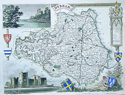
Thomas Moule
c.1836-48
£58.00
Durham
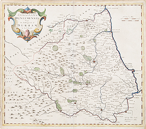
Robert Morden
c.1695
£115.00
Durham
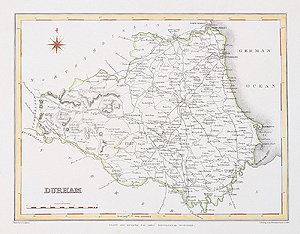
Robert Creighton and J & C Walker
C.1831
£34.95

Durham
John Harrison
c.1789
SOLD
Antique Maps of Durham for sale
If you are looking for an antique map of County Durham, then we have a selection from the 18th and 19th century. Herman Moll's map features archeological and historical illustrations to the borders, Thomas Moule's characteristic heraldic references adorn his decorative 19th century example. The first edition Robert Morden, dated 1695 is hand coloured and has a decorative, scrolled title cartouche. Suitable for collectors and ideal as affordable, special gifts, for example, place of birth, home, study venue.
Mon - Closed
Tues-Fri 10am-1.30pm, 2.30-5.30pm
Sat 10am-1.30pm
© Devonshire Fine Art
Free UK Mainland Delivery*
9 Church Street
Modbury
Devon PL21 0QW. UK
01548 830872


