
Antique Maps of Norfolk for Sale
Discover our collection of original antique maps of Norfolk, featuring historic county maps dating from the 17th to the 19th centuries. Browse decorative maps by notable cartographers and publishers including Robert Morden, Richard Blome, Thomas Moule and other historic mapmakers.
These historic maps depict Norfolk's towns, coastline and countryside, including Norwich, King's Lynn, Great Yarmouth, Cromer, Wells-next-the-Sea, Diss and Fakenham. They are fascinating pieces of local history and distinctive additions to a collection or home.
Explore more historic county maps in our collection of antique maps of Britain, discover antique maps of Suffolk, or browse our latest antique map arrivals.
Browse the maps below to view individual descriptions, condition details, prices and ordering information. Free UK mainland delivery.


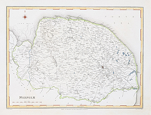
Norfolk
Thomas Moule
c.1836–1848
£74.00
Norfolk
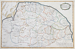
Robert Morden
c.1722
£190.00
Norfolk
Robert Creighton and J & C Walker
C.1831
£39.95

Norfolk
Hermann Moll
1724
SOLD

Norfolk
Saxton Kip
circa 1637
SOLD

Norfolk
James Duncan
1833
SOLD

Norwich City Plan
Roper / Cole
1807
SOLD
Norfolk
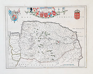
Joan Blaeu
c.1645
SOLD
Historic Norfolk County Maps from the 17th to 19th Centuries
Antique maps of Norfolk provide a fascinating record of the county's changing towns, roads, coastline and countryside. Early county maps are particularly interesting for their historical place names, decorative cartouches and distinctive engraving styles.
Notable Mapmakers of Norfolk
Our collection includes maps associated with Robert Morden, Richard Blome, Thomas Moule and other historic cartographers. Their maps reflect different periods in the history of British cartography, from early printed county maps to the more decorative county maps of the 19th century.
Norfolk Towns and Local History
Historic maps can show places including Norwich, King's Lynn, Great Yarmouth, Cromer, Diss and other Norfolk towns and coastal communities. They are suitable for collectors of antique maps, local historians and people looking for an unusual historic map of Norfolk.
Select an available map above to view its publication details, dimensions, condition, price and framing options where offered. Browse more antique maps of Britain or explore our antique maps of Suffolk.
Looking for maps of a particular town or another English county? Browse our antique maps of Britain or discover more arrivals in our latest antique maps collection.
Mon - Closed
Tues-Fri 10am-1.30pm, 2.30-5.30pm
Sat 10am-1.30pm
© Devonshire Fine Art
 Free UK Mainland Delivery*
9 Church Street
Modbury
Devon PL21 0QW. UK
01548 830872


