
Antique Maps of Germany for sale
Germany Antique maps including Bavaria.
- Cartographers include Pierre Tardieu, John Rapkin, Cluver, Jansson, Alain Mallet, Vaugondy.
- Place names include Munich, Berlin, Hamburg, Colonge, Dresden.
- Hand coloured steel and copperplate line engravings.
- From the 17th to the 19th century, scarce and decorative maps of Germany.
Click on an image or link for more details or to purchase. FREE UK Delivery 
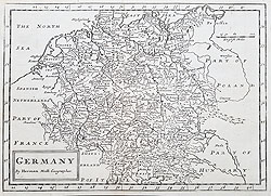
Germany
Herman Moll
Circa 1720
£85.00
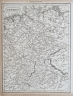
Germany
Thomas Kelly
A. Endley 1820
£25.00
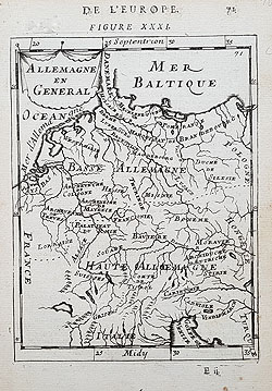
Germany
Allemange en Generale
Mallet 1683
£65.00
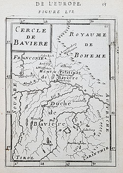
Germany - Bavaria
Mallet
C.1683
£55.00
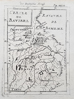
Germany - Bavaria der Uereinigten Niderlande
Mallet
C.1686
£55.00
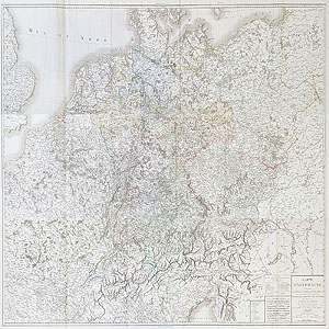
Germany - Carte Allemange
P.F. Tardieu
1806
on 3 sheets.
£595.00 scarce
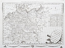
Germany - Empire of Germany
Moore's New and Complete Collection of Voyages and Travels
C.1800
£65.00

Germany
L' Allemange Par Postes
Le Rouge
1742
£95.00
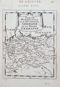
Germany
Partie Meridionale de L'Ancienne Germanic ou la Vraye Germanie De L'EuropeMallet
1683
£55.00
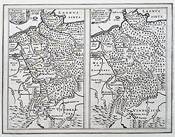
Germany - Popularum Germanica
Cluver/Jansson
C.1661
£100.00
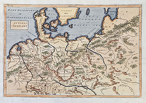
Antient Germany
Isaac Basire
c.1750
£65.00
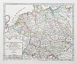
Germany - L'Empire D'Allemange
Vaugondy
1748
£90.00
Germany - Carte Ancienne D'Allemange
P.F. Tardieu
Circa 1806
£55.00

The Empire of Germany
A. K. Johnston
1881
£45.00

Prussia - Russia - Germany Königsberg - Kaliningrad - Regiomontis Borufsine Urbis - F. de la Pointe
1697
£85.00

Germany
John Rapkin
c.1850
SOLD
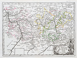
Germany
La Franconie le cours du main un partie de celuy du Rhim a Paris
Le Rouge
1748
SOLD
Antique maps of Germany. Alte Landkarten von Deutschland
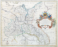
If you are looking for an antique or historical map of Germany, we have an extensive stock. One of the largest 19th century maps of the Empire of Germany by Pierre Tardieu is on three sheets, very detailed and hand coloured. We have several 17th century miniature examples by Mallet including one of Bavaria. An early example is Cluver and Jansson's 1661 retrospective map, depicting Germany during the reigns of two Roman Emporers. Moore's Empire of Germany from the late 18th century has an attractive vignette style title cartouche. Ideal special gifts or additions to a collection which will stand the test of time.
Mon - Closed
Tues-Fri 10am-1.30pm, 2.30-5.30pm
Sat 10am-1.30pm
© Devonshire Fine Art
Free UK Mainland Delivery*
9 Church Street
Modbury
Devon PL21 0QW. UK
01548 830872


