
Antique Maps of the USA and America for Sale
Explore our collection of antique maps of the United States and North America, including original maps from the 18th and 19th centuries. Discover historic maps by notable cartographers and publishers, featuring early representations of the American states, major cities, coastlines and regions. Whether you collect American cartography or are looking for an unusual historical gift, browse the maps below for details, dates, prices and availability.
Our collection includes maps of the United States, New York, the eastern seaboard and individual states, alongside broader maps of North America and neighbouring territories. Select a map to view its full description, condition and purchase details.
Browse Antique American Maps by Region and Date
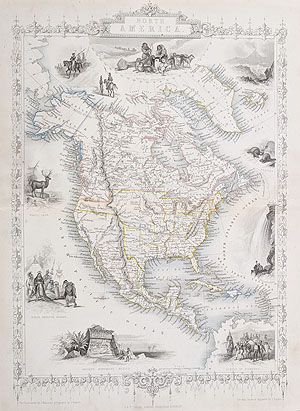
Antique Map of the United States
John Rapkin for John Tallis
Circa 1851
£235.00
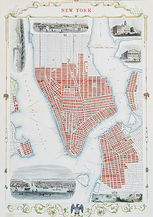
Antique Map of New York
Rapkin and Tallis
Circa 1851
£895.00
Scarce

Antique Map of the Ports of the Eastern USA
Thomas Conder
1779
£325.00
Scarce
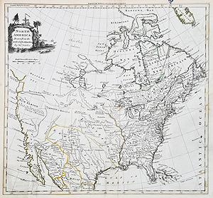
Antique Map of North America
Thomas Kitchin
Circa 1770–1790
£325.00

Antique Map of the United States
John Rapkin for John Tallis
Circa 1851
£265.00

North America
Rigobert Bonne
1781
£275.00
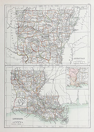
Antique Map of Arkansas and Louisiana
J. Bartholomew
1898
£25.00

Antique Map of Kentucky and Tennessee
J. Bartholomew
1898
£25.00

Antique Map of Illinois
J. Bartholomew
1898
£25.00
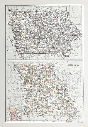
Antique Map of Iowa and Missouri
J. Bartholomew
1898
£25.00
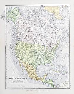
Antique Map of North America
A. K. Johnston
1881
£55.00
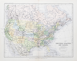
Antique Map of the USA and Canada
A. K. Johnston
1881
£55.00

Antique Map of Canada, Alaska and Greenland
John and Charles Walker
Circa 1850
£85.00
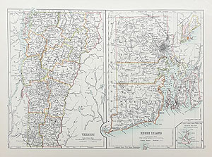
Antique Map of Vermont and Rhode Island
J. Bartholomew
1898
£25.00

Americae Mappa Generalis
Homann
Circa 1746
SOLD
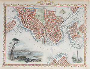
Antique Map of Boston, Massachusetts
Rapkin and Tallis
Circa 1851
SOLD

Antique Map of Canada, Newfoundland and Eastern America
Herman Moll
Circa 1709
SOLD
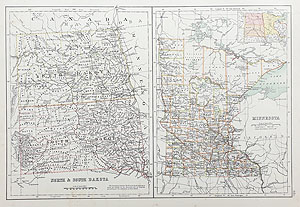
Antique Map of North and South Dakota and Minnesota
J. Bartholomew
1898
SOLD
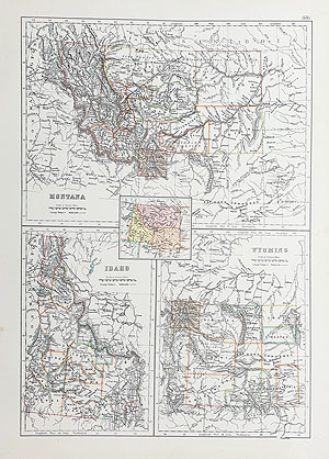
Antique Map of Montana, Idaho and Wyoming
J. Bartholomew
1898
SOLD

Historical Military Map of New York, New Hampshire and Maine
J. Yeager
1832
SOLD
Explore our related collections of antique maps of Canada, historic maps of North America, and antique maps of South America. You can also browse our antique maps of the world.
Collecting Antique Maps of America
Antique maps of America document the changing understanding of the United States and the wider North American continent. Maps produced during the 18th and 19th centuries can reveal historical state boundaries, early settlement patterns, coastal geography and the development of major cities. Their geographical detail, engraving and decorative presentation make them appealing to collectors of historical maps and those seeking distinctive wall art.
18th-Century Maps of North America
Maps from the 1700s reflect a period of changing political boundaries and expanding geographical knowledge. Examples by cartographers such as Thomas Kitchin and Rigobert Bonne can help illustrate how North America was represented before and after American independence. The date and geographical coverage of each individual map should be checked in its product description.
19th-Century Maps of the United States
During the 1800s, maps of the United States increasingly depicted individual states, growing cities, transport routes and regional boundaries. Publishers such as John Tallis and John Rapkin produced maps that are now collected for their historical interest and engraved detail. Our listings provide further information about individual maps, including their dates, condition and prices.
Buying Antique American Maps
When choosing an antique map, consider its date, cartographer, geographical coverage, condition and original colouring. Compare the product photographs with the written description, and consult the individual listing for current availability and purchasing information.
Explore more historic cartography in our antique maps of the world, antique maps of Europe and antique maps of the British Isles. For recently added items, visit our latest antique maps.
Mon - Closed
Tues-Fri 10am-1.30pm, 2.30-5.30pm
Sat 10am-1.30pm
© Devonshire Fine Art
 Free UK Mainland Delivery*
9 Church Street
Modbury
Devon PL21 0QW. UK
01548 830872


