
Antique Maps of France
France antique maps and French provinces.
- Cartographers include Sebastian Munster, Edward Stanford, Robert Wilkinson, Alain Mallet.
- Place names include Paris, Lyon, Marseille, Rennes, Caen, Corsica.
- Hand coloured steel and copperplate line engravings also a woodcut.
- From the 16th to the 19th century, scarce and decorative maps of France.
Click on an image or link for more details or to purchase. FREE UK Delivery 

France
Smith after George
c.1852
£75.00

France
Robert Wilkinson
1806
£65.00

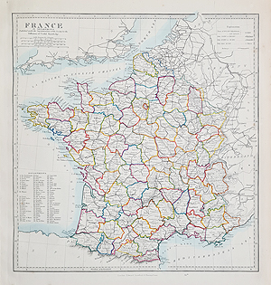
France
Edward Stanford
1875
£65.00

France - Belgium De L'Europe
Mallet
C.1683
170 x 115
£50.00

Lorraine - France
Mallet
C. 1683
£55.00
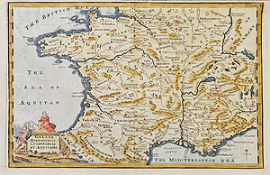
France
Emanuel Bowen
C.1766
£75.00

France
John Rapkin
c.1851
SOLD

France en 1789
A. T. Chartier
1873
SOLD

France
John Lodge for Brookes Gazetter
c.1780
SOLD

France
Thomas Bowen
c.1787
SOLD

France
Alfred Adlard
c.1850
SOLD scarce
Antique maps of France from the 16th to the 19th centuries.
Looking for antique map of France? Possible special gift or a holiday memory? Our stock includes the scarce 16th century map by Sebastien Munster, depicting France during the Rennaisence period, Mallet's miniature maps from the 17th century and the colourful examples by Smith, Wilkinson and Stanford. Prices suitable for all budgets snd free delivey in the UK.
Mon - Closed
Tues-Fri 10am-1.30pm, 2.30-5.30pm
Sat 10am-1.30pm
© Devonshire Fine Art
Free UK Mainland Delivery*
9 Church Street
Modbury
Devon PL21 0QW. UK
01548 830872


