
Antique Maps of Cheshire
Cheshire antique maps for sale county maps and city maps of Chester.
- Antique maps from the 17th to 19th century.
- Handcolouring in watercolour.
- Towns and cities annotated include: Chester, Stockport, Sandbach, Nantwich, Birkenhead, Delamere.
- Cartographers include: Thomas Moule, Emanuel Bowen, Robert Morden
Click on an image or link for more details or to purchase.

Cheshire
Thomas Moule
c.1850
£70.00
Cheshire
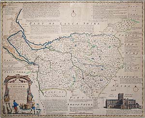
Emanuel Bowen
C.1767
£195.00

Chester antique city map
Cole and Roper
1805
£65.00
Cheshire
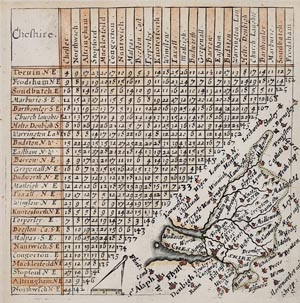
Thomas Jenner
1643
£75.00 scarce

Cheshire
Emanuel Bowen
1767
£165.00
Cheshire
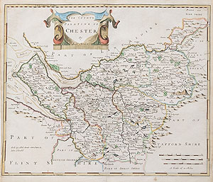
Robert Morden
C.1695
£195.00
Cheshire
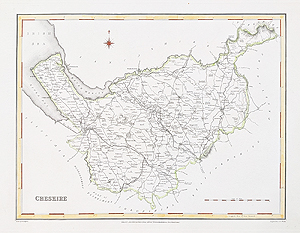
Robert Creighton and J & C Walker
c.1831
£39.95
Cheshire antique maps - 18th and 19th century, genuine originals.
We have a selection of county maps of Cheshire and city plans of Chester. From the 17th to 19th century, some are hand coloured. The very decorative map by Thomas Moule features his usual heraldic representations of the prominent families in the county. Emanuel Bowen's map are a cartographic tour-de-force with text relating to the commerce, agriculture and history of Cheshire with a vignette of Chester Cathedral. Thomas Jenner's Mid 17th century county map of Cheshire, published during the Civil War, features Norden's mileage chart, place names include Chester, Macclesfield, Nantwich. Compass and scale to centre bottom, scarce. Additionally there is a very attractive city map of Chester by Cole and Roper as well as Robert Morden's county map with a decorative title cartouche.
Mon - Closed
Tues-Fri 10am-1.30pm, 2.30-5.30pm
Sat 10am-1.30pm
© Devonshire Fine Art
 Free UK Mainland Delivery*
9 Church Street
Modbury
Devon PL21 0QW. UK
01548 830872


