
Antique Maps of Essex
Essex antique maps from the 17th to 19th century for sale.
- Cartographers include Robert Morden, Thomas Moule, John Speed, Emanuel Bowen, John Harrison.
- Place names include Chelmsford and Southend, as well as Colchester, Waltham Abbey, Saffron Waldron, Halstead, Harwich and Chipping Ongar.
- Hand coloured steel and copperplate line engravings.
- Archeological references, historical and agrcultural information.
Click on an image or link for more details or to purchase. FREE UK Delivery 

Essex
Thomas Moule
c.1836-48
£89.00

Essex
John Speed
c.1676
£765.00
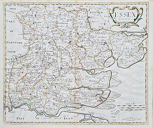
Essex
Robert Morden
c.1722
£160.00
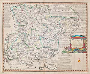
Essex
Emanuel Bowen
1763
£175.00 scarce
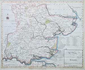
Essex
John Harrison
1787
£110.00
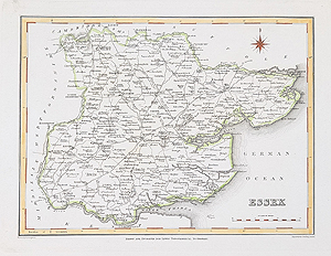
Essex
Robert Creighton and J & C Walker
C.1831
£34.95

Harwich
Capt. Greenville Collins
1693
SOLD
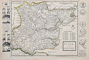
Essex
Herman Moll
c.1724
SOLD

Essex
Robert Creighton
1831
SOLD
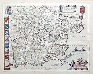
Essex
Joan Blaeu
C.1646-48
SOLD
Essex Antique maps from the the 17th to 19th century.
Looking for an antique map of Essex, then we have a selection from the 17th to 19th century. John Speed's highly decorative 17th century map, hand coloured and has descriptive text verso, Thomas Moule's characteristic heraldic references adorn his decorative mid-19th century example. The 1722 edition Robert Morden, is hand coloured and has a decorative, scrolled title cartouche. Emanuel Bowen's lage county map, is hand coloured, has a decorative vignette title cartouche and extensive text describing the history and commerce of Essex. The scarce, 18th century map by John Harrison is hand coloured and features a compass rose Suitable for collectors and ideal as affordable, special gifts, for example, place of birth, home, study venue.
Mon - Closed
Tues-Fri 10am-1.30pm, 2.30-5.30pm
Sat 10am-1.30pm
© Devonshire Fine Art
Free UK Mainland Delivery*
9 Church Street
Modbury
Devon PL21 0QW. UK
01548 830872


