
Antique maps of Europe for sale
Europe Antique Maps - Continental - 17th to 19th century.
>- Cartographers include Jan Janson, Abraham Orteluis, Thomas Bowen, Alain Manneson Mallet, Herman Moll, Laurie and Whittle.
- Countries include Ireland, Great Britain, France, Germany, Spain, Italy, Switzerland, Sweden, Finland, Norway, Hungary, Norway, Ukraine, Russia, Balkans, Denmark, Iceland.
- Hand coloured steel and copperplate line engravings.
- Historical and Political information, changing boundaries, the geographical effects of various conflicts.
Click on an image or link for more details or to purchase. FREE UK Delivery 
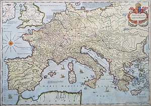
Europe
Caroli Magni from Orbis Antiqus
Jan Jansson
circa 1650 - 1657
£495.00

Black Sea
Abraham Orteluis
c.1603
£400.00
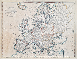
Europe
Thomas Bowen
1790-1792
£145.00

Europe - Carte de L'Empire Romain
P.F. Tardieu
C.1805
SOLD

Europe
Europe Ancienne das Alle Europe
Mallet
1686
£65.00
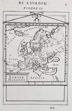
Europe Moderne De L'Europe
Mallet
C. 1683
£65.00

Great Britain and Western Europe
Laurie and Whittle
1794
£425.00

Eastern Europe
C. F. Weiland
C.1842
£55.00

Greece and Asia Minor
Rigobert Bonne
c.1781
£85.00

East Europe and Asia Minor
The Conquests of Demetrius surnamed Poliorcetes
Heman Moll
C. 1717
£75.00

Europe WWI
'The Kaiser's Monster Carnival of Terrorism' ...
Harry Furniss
1915
SOLD scarce

Europe
Becker
c. 1850
SOLD

Europe
John Rapkin for John Tallis
c.1851
SOLD

East Mediterranean
Robert Wilkinson
c.1797
SOLD
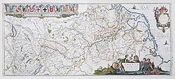
The River Rhine
Willem Blaeu
c.1635
SOLD
Europe Antique maps of the continent for sale
These maps give a fascinating overview of the continent of Europe. The alterered boundaries resulting from numerous conflicts and changing allegencies over 400 years. From the 17th century miniature maps by Alain Mallet to the extensive and colourful map by Jan Jansson and the retospective map by Moll of Southern Europe in the 4th century BC, we have many and varied cartographic depictions of the continent.
Mon - Closed
Tues-Fri 10am-1.30pm, 2.30-5.30pm
Sat 10am-1.30pm
© Devonshire Fine Art
Free UK Mainland Delivery*
9 Church Street
Modbury
Devon PL21 0QW. UK
01548 830872


