
Antique Maps of the Channel Islands
Explore our collection of original antique maps and historic charts of the Channel Islands, including Jersey, Guernsey, Alderney and Sark. The collection includes maps dating from the 17th and 19th centuries, produced by recognised British and European mapmakers.
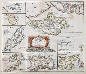
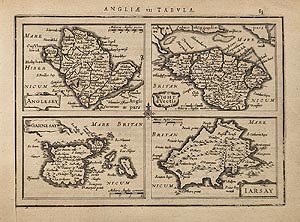
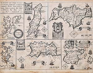
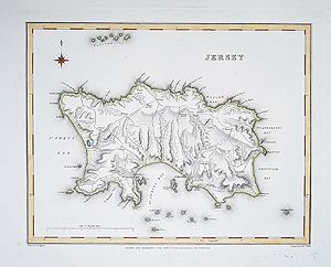
These historical maps offer a fascinating record of the islands, their coastlines, harbours, settlements and geographical features. Our selection includes individual county-style maps of Jersey and Guernsey, as well as wider maps of the British Isles and historic nautical charts.
All maps offered for sale are original historical items, not modern reproductions. Each listing provides further details of the map's date, publisher, condition and price.
Antique Maps of Jersey, Guernsey, Alderney and Sark

Antique Admiralty Chart of Alderney and the Casquets
Capt. Richards / Admiralty
1865–1958
£195.00
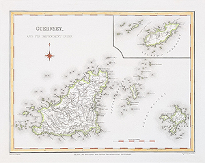
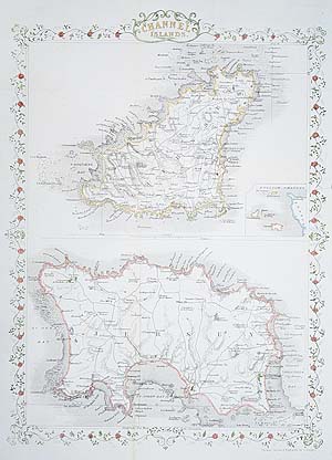
Channel Islands
John Rapkin
circa 1860
SOLD
About our Channel Islands antique maps
The Channel Islands have a distinctive history and geographical position between southern England and the French coast. Their importance to maritime trade, navigation and defence is reflected in the maps and charts produced over several centuries.
Seventeenth-century mapmakers such as Robert Morden and Richard Blome published maps showing the British Isles and surrounding islands. Later nineteenth-century publishers, including Robert Creighton and James and Charles Walker, produced more detailed maps of individual islands, including Jersey and Guernsey.
Our collection also includes historic nautical charts, such as the Admiralty chart of Alderney and the Casquets, which record important coastal and navigational features.
Frequently Asked Questions About Channel Islands Antique Maps
Which Channel Islands are shown on antique maps?
Our collection includes maps showing Jersey, Guernsey, Alderney and other islands in the Channel Islands. Some historical maps show individual islands, while others cover the wider British Isles.
How old are the Channel Islands maps?
The collection includes maps dating from the 17th, 18th and 19th centuries. Each product listing gives the approximate date of publication.
Are these original antique maps?
The maps offered for sale are original historical examples rather than modern reproductions. Please consult each listing for details of its condition, colouring and publication history.
Can antique maps of the Channel Islands be framed?
Yes. We offer a map framing service. Please see our antique map framing service for further information.
Do you deliver Channel Islands antique maps?
Delivery information is available on our delivery information page.
Can you deliver antique maps to the Channel Islands?
Please see our delivery information or contact us to confirm delivery arrangements and charges for Jersey, Guernsey, Alderney and Sark.
Mon - Closed
Tues-Fri 10am-1.30pm, 2.30-5.30pm
Sat 10am-1.30pm
© Devonshire Fine Art
 Free UK Mainland Delivery*
9 Church Street
Modbury
Devon PL21 0QW. UK
01548 830872


