
Antique Maps of Gloucestershire
Gloucestershire Antique county and town maps.
- Cartographers include Saxton, Robert Morden, Thomas Moule, Joseph Ellis, John Speed, Joan Blaeu.
- Place names include Chelmsford and Southend, as well as Gloucester, Cheltenham, Stroud, Tewksbury.
- Hand coloured steel and copperplate line engravings.
- Our maps range from the early 17th to the mid 19th century and consist of county maps and town plans.
Click on an image or link for more details or to purchase. FREE UK Delivery 
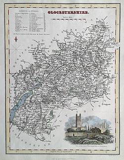
Gloucestershire
Archibald Fullarton
c.1833
£59.00

Gloucestershire
Thomas Moule
c.1836-48
£89.00

Gloucester
Cole and Roper
circa 1805
£105.00

Gloucestershire
Dugdales
1843
SOLD
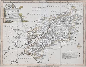
Gloucestershire
Joseph Ellis
1773
£35.00
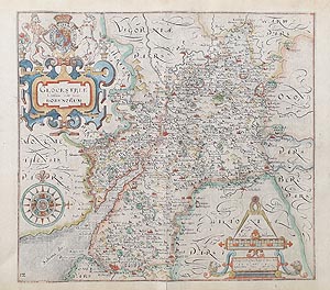
Gloucestershire
Saxton Hole
C.1637
£195.00
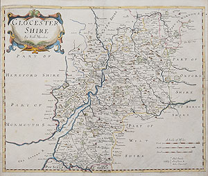
Gloucestershire
c.1722
£150.00
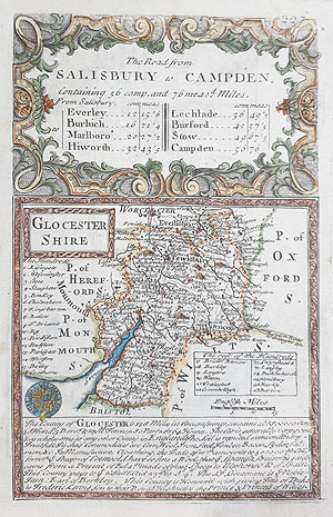
Gloucestershire
Owen and Bowen
1721
£48.00
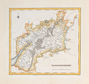
Gloucestershire
Robert Creighton and J. Walker
c. 1840
£40.00
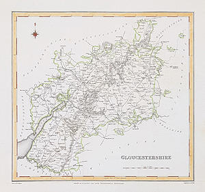
Gloucestershire
Robert Creighton and J & C Walker
C.1831
£39.95

Gloucestershire
John Speed
1676
SOLD

Gloucestershire
Joan Blaeu
c.1646-48
SOLD
Gloucestershire county antique maps.
If you are looking for an antique map of the county of Gloucestershire, then we have a large selection dating from the early 17th century to the Mid 19th century. The 1637 map by William Hole after Christopher Saxton is very decorative and has a compass rose and an elaborate title cartouche with an amorial. Joseph Ellis's 18th century map has a vignette style title cartouche and a small compass rose. It is quite scarce. Other eamples include the early 18th century Robert Morden map and the decorative Thomas Moule map with heraldry and vignettes.
Mon - Closed
Tues-Fri 10am-1.30pm, 2.30-5.30pm
Sat 10am-1.30pm
© Devonshire Fine Art
Free UK Mainland Delivery*
9 Church Street
Modbury
Devon PL21 0QW. UK
01548 830872


