
Antique Map of Devon by Sidney Hall for Samuel Leigh, 1820
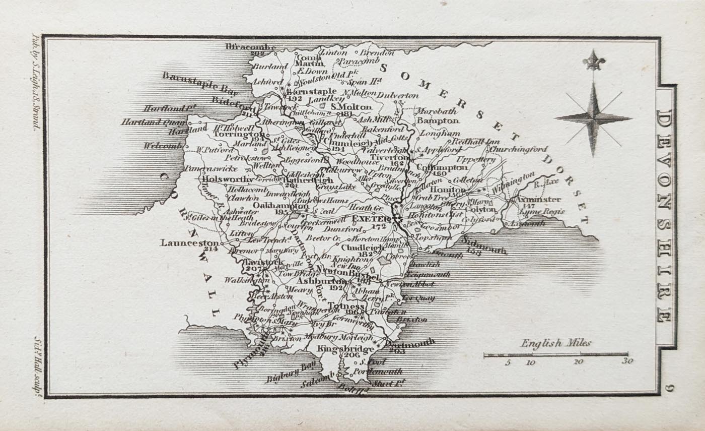
Antique Map of Devon, 1820
Purchase this antique map
£65.00
John and Charles Walker, 1820
Original nineteenth-century antique miniature map uncoloured.
Order number: 5019
Free UK Mainland Delivery
Antique map framing suggestions
About this Antique Map of Devon
This original antique map of Devon was engraved by Sidney Hall and published by Samuel Leigh in 1820 as part of Leigh's New Pocket Atlas of England and Wales.
Despite its small size, the map depicts the county in considerable detail, showing numerous towns and settlements, including Plymouth, Modbury, Kingsbridge, Dartmouth, Ashburton, Sidmouth, Exeter, Torrington, Ilfracombe, Barnstaple and Honiton.
The map is an interesting example of early nineteenth-century pocket atlas production, combining detailed engraving with a compact format designed for convenient reference. This example is an uncoloured first edition dating from 1820.
An attractive original antique map for collectors of Devonshire maps and early nineteenth-century British cartography.
Map Details
- Title: Devonshire
- Cartographer: Sidney Hall
- Date: 1820
- Publication: Leigh's New Pocket Atlas of England and Wales
- Publisher: Samuel Leigh
- Image size: 70 x 122mm (approximately 2.75 x 4.75 inches)
- Condition: Uncoloured miniature map
- Order number: 5019
- Price: £35.00
Sidney Hall and Nineteenth-Century Map Engraving
Sidney Hall (1788?–1831) was a prominent British engraver and cartographer, best known for his finely engraved maps published in early nineteenth-century atlases. His work covered the United Kingdom, the ancient world and many other geographical subjects, and his engravings appeared in numerous popular atlases during a period of growing interest in cartography and geographical publishing.
Hall worked with several leading publishers and mapmakers, including William Faden, Aaron Arrowsmith and Chapman & Hall. His work was not confined to conventional maps. Around 1825, he produced the engravings for Urania's Mirror, an unusual boxed set of illustrated astronomical cards depicting the constellations. These distinctive cards featured punched holes representing the stars, allowing light to shine through when held up to a light source.
During his career, Hall worked at several London addresses. In 1809, he was based at 5 Vine Street, Piccadilly. By 1814, he was in partnership with Michael Thomson at 14 Bury Street, Bloomsbury, and was later listed at 18 Bury Street.
Hall is also credited with almost certainly being the first engraver to use steel plates for map engraving, an important development in the production of detailed and durable printed maps.
Following his death in 1831, aged approximately 42, his engraving business was continued by his widow, Selina Hall, who maintained the family's involvement in map publishing.
More Antique Maps of Devon
View our collection of antique maps of Devon, including historic maps of the county from different periods and by different mapmakers.
Related Maps
Mon - Closed
Tues-Fri 10am-1.30pm, 2.30-5.30pm
Sat 10am-1.30pm
© Devonshire Fine Art
 Free UK Mainland Delivery*
9 Church Street
Modbury
Devon PL21 0QW. UK
01548 830872


