
Antique Map of Ulster by Joan Blaeu, 1662
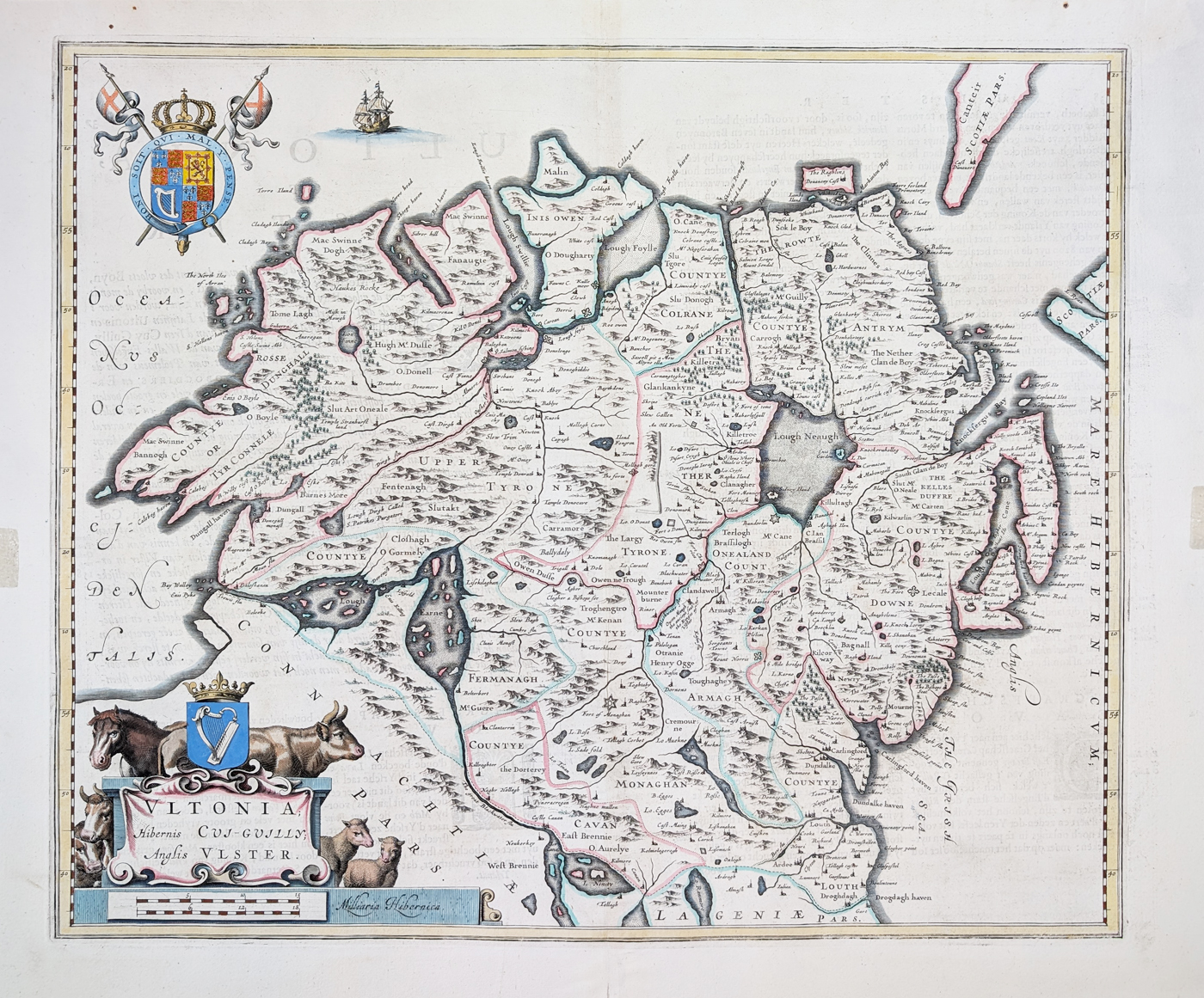
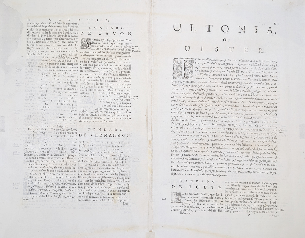
This original antique map of Ulster was published in 1662 by Joan Blaeu in the Latin edition of the Atlas Maior. The detailed seventeenth-century map shows the towns, ports, rivers and geographical features of Ulster, including Belfast, Lough Neagh, Armagh, Antrim and Tyrone. The map has later hand colouring and Latin text to the verso.
Buy this Antique Map of Ulster
£395.00
Joan Blaeu 1662
Original seventeenth-century antique map with hand colouring.
Order number: 4998
Free UK Mainland Delivery
Antique map framing suggestions
About this Antique Map of Ulster
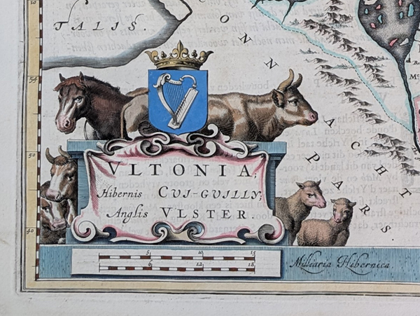
This detailed antique map of Ulster was published in 1662 by Joan Blaeu as part of the Latin edition of the Atlas Maior. Blaeu's maps are renowned for their detailed cartography and decorative presentation, and this example provides a fascinating historical view of seventeenth-century Ulster.
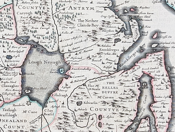
The map shows numerous towns, rivers, loughs and geographical features, including Belfast, Lough Neagh, Armagh, Antrim, Tyrone, Coleraine and County Down. It provides an interesting historical record of the landscape and place names of Ulster in the seventeenth century.
This example retains its early hand colouring and is in folding condition as originally published. There is some age toning and strengthening to the centre fold, consistent with its age and original use.
Map Details
- Title: Ulster
- Cartographers: Joan Blaeu
- Date: 1662
- Publication: Atlas Maior Sive Cosmographia Blaviana, Qua Solvm, Salvm, Coelvm, Accvratissime Describvntvr.
- Publisher: Blaeu
- Colouring: Later hand colouring
- Image size: 415 x 490mm (approximately 16.25 x 19.25 inches)
- Condition: Bold imprint, later hand colouring, folding copy as published, some age toning and strengthening to centre fold, old tape marks to side margins, some fading to text verso
- Order number: 4998
- Price: £395.00
Joan Blaeu Maps
View more antique maps by Joan Blaeu, including historic maps of Ireland, Britain and other parts of Europe.
Willem's two sons, Joan and Cornelius, both entered the family business and in 1630 the firm published its first world atlas, bound in a single volume. This was increased to two volumes in 1635 and to three in 1640.
View more antique maps by Joan Blaeu.
More Antique Maps of Ulster
View our collection of antique maps of Ulster, including historic maps of the county from different periods and by different mapmakers.
Related Maps
Mon - Closed
Tues-Fri 10am-1.30pm, 2.30-5.30pm
Sat 10am-1.30pm
© Devonshire Fine Art
 Free UK Mainland Delivery*
9 Church Street
Modbury
Devon PL21 0QW. UK
01548 830872


