
Antique Map of Ulster by Walpoole and Hogg, 1784
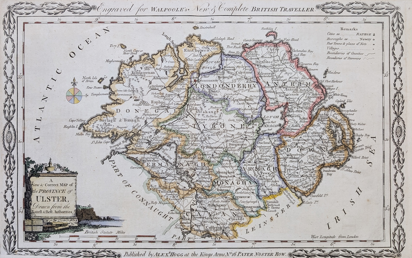
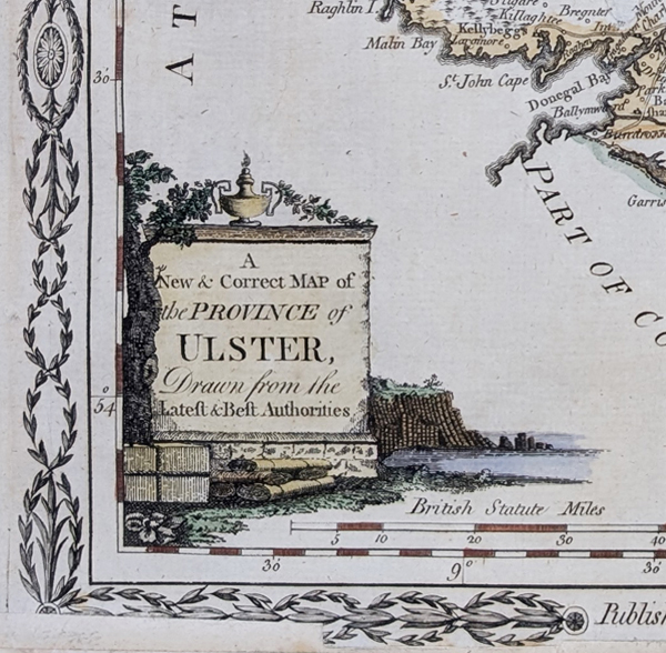
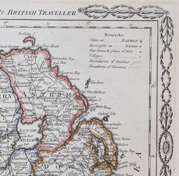
1784 Antique Map of Ulster
This original antique map of Ulster was published in 1784 in Walpoole's New and Complete British Traveller. The map covers the historic province of Ulster in northern Ireland and was engraved by Thomas Conder.
The map is an attractive example of late 18th-century British cartography, with decorative engraving and later hand colouring. It shows the principal towns, settlements, roads and geographical features represented on the map at the time of publication.
Antique Map of Ulster – 1784
Price: £120.00
Order number: 4997
Map size: 225 × 350 mm (approximately 9 × 13.75 inches)
Condition: Bold imprint, later hand colouring and minor cropping to the bottom border.
George Augustus Walpoole (or Walpole)
British topographer responsible for only one notable cartographic work, The New British Traveller, which appeared in 1784. This was a five-part work and Walpoole was assisted in its preparation by A Society of Gentlemen. The folio atlas contains 23 plates most showing two, though sometimes four, maps of the English counties with decorative scrolls top and bottom. The maps are sometimes trimmed to the edge of the border, thus omitting the scrolls and imprint. Although most of the maps were engraved by Thomas Conder, the signature of Hatchett is found on the second edition dated 1790.
Thomas Conder (1747 - June 1831)
An English map engraver and bookseller active in London during the late 18th century. From his shop at 30 Bucklersbury, London, Conder produced a large number of maps and charts, usually in conjunction with other publishers of his day, including Wilkinson, Moore, Kitchin, and Walpole. Unfortunately few biographical facts regarding Conder's life have survived. Thomas Conder was succeeded by his son Josiah Conder who, despite being severely blinded by smallpox, followed in his father's footsteps as a bookseller and author of some renown.
About the 1784 Map of Ulster
This map dates from 1784 and depicts the province of Ulster as represented in late 18th-century British cartography. It was published as part of Walpoole's New and Complete British Traveller and engraved by Thomas Conder.
The map provides a historical view of Ulster before the political and administrative geography of Ireland was transformed during the 19th and 20th centuries. As an original period map, it is of interest to collectors of Irish maps, Ulster history and historical cartography.
Other Related Maps
See our collection of antique maps of Northern Ireland, or browse our wider collection of antique maps of Ireland and antique maps of the British Isles.
Mon - Closed
Tues-Fri 10am-1.30pm, 2.30-5.30pm
Sat 10am-1.30pm
© Devonshire Fine Art
 Free UK Mainland Delivery*
9 Church Street
Modbury
Devon PL21 0QW. UK
01548 830872


