
Antique Map of Bath by Robert K. Dawson, c.1837
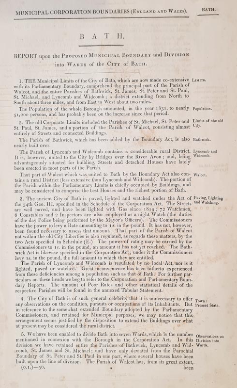
Discover this original nineteenth-century map of Bath, attributed to Robert K. Dawson, Lieutenant R.E. Published by the Ordnance Survey around 1837, this hand-coloured lithographic town plan was produced by J. Henshall and is accompanied by three pages of related historical text concerning the proposed municipal boundary and division of Bath into wards. An interesting historical document for collectors of antique maps of Bath, Somerset and British town plans.
Browse antique maps of Somerset | Explore antique city maps | View antique maps of Bath
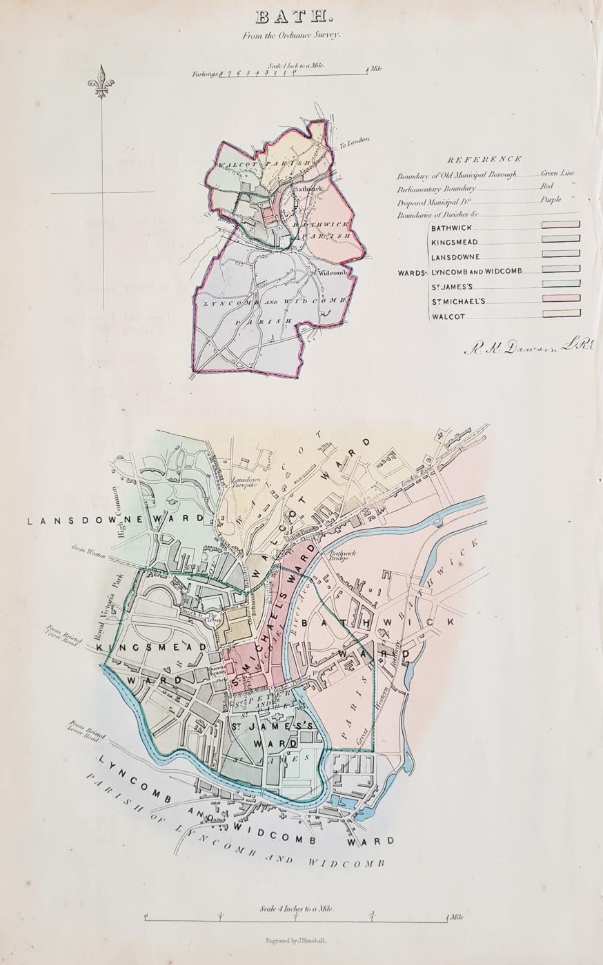
Bath from the Ordnance Survey, c.1837
Mapmaker: Robert K. Dawson, Lieutenant R.E.
Title: Bath from the Ordnance Survey
Publication: Ordnance Survey
Date: Circa 1837
Engraver: J. Henshall
Medium: Lithograph with original hand colouring
Description: An antique town plan of Bath, accompanied by three pages of related text headed "Reports upon the Proposed Municipal Boundary and Division into Wards of the City of Bath".
Condition: Some age toning to the paper and old mount marks. Please inspect the photographs and contact us if you require further condition details.
Image size: 315 × 190 mm (approximately 12.5 × 7.5 inches).
Price: £59.00
Order number: 4189
Historical Bath: an Ordnance Survey town plan
This nineteenth-century plan records Bath at a time when the city's municipal boundaries and ward arrangements were matters of formal discussion. The accompanying report on the proposed municipal boundary and division into wards adds documentary interest beyond the map itself.
The original hand colouring and the accompanying text make this item relevant to collectors of antique maps of Bath, historical maps of Somerset and material relating to the development of British towns during the nineteenth century.
Explore more antique maps of Bath or browse antique maps of Somerset.
Frequently Asked Questions
When was this antique map of Bath published?
The map is dated circa 1837 in the current catalogue description. Please refer to the original map's imprint for any further publication details.
Does the map include additional historical text?
Yes. The item is described as including three pages of related text concerning the proposed municipal boundary and division of Bath into wards.
What is the condition of the map?
The catalogue description notes some age toning to the paper and old mount marks. Please inspect the photographs and contact us for further condition details if required.
Can this antique map be framed?
Please visit our antique map framing page for framing suggestions.
Mon - Closed
Tues-Fri 10am-1.30pm, 2.30-5.30pm
Sat 10am-1.30pm
© Devonshire Fine Art
 Free UK Mainland Delivery*
9 Church Street
Modbury
Devon PL21 0QW. UK
01548 830872


