
Belgium and The Netherlands by Philip Clüver
Back to: Belgium | Netherlands | Philp Clüver maps
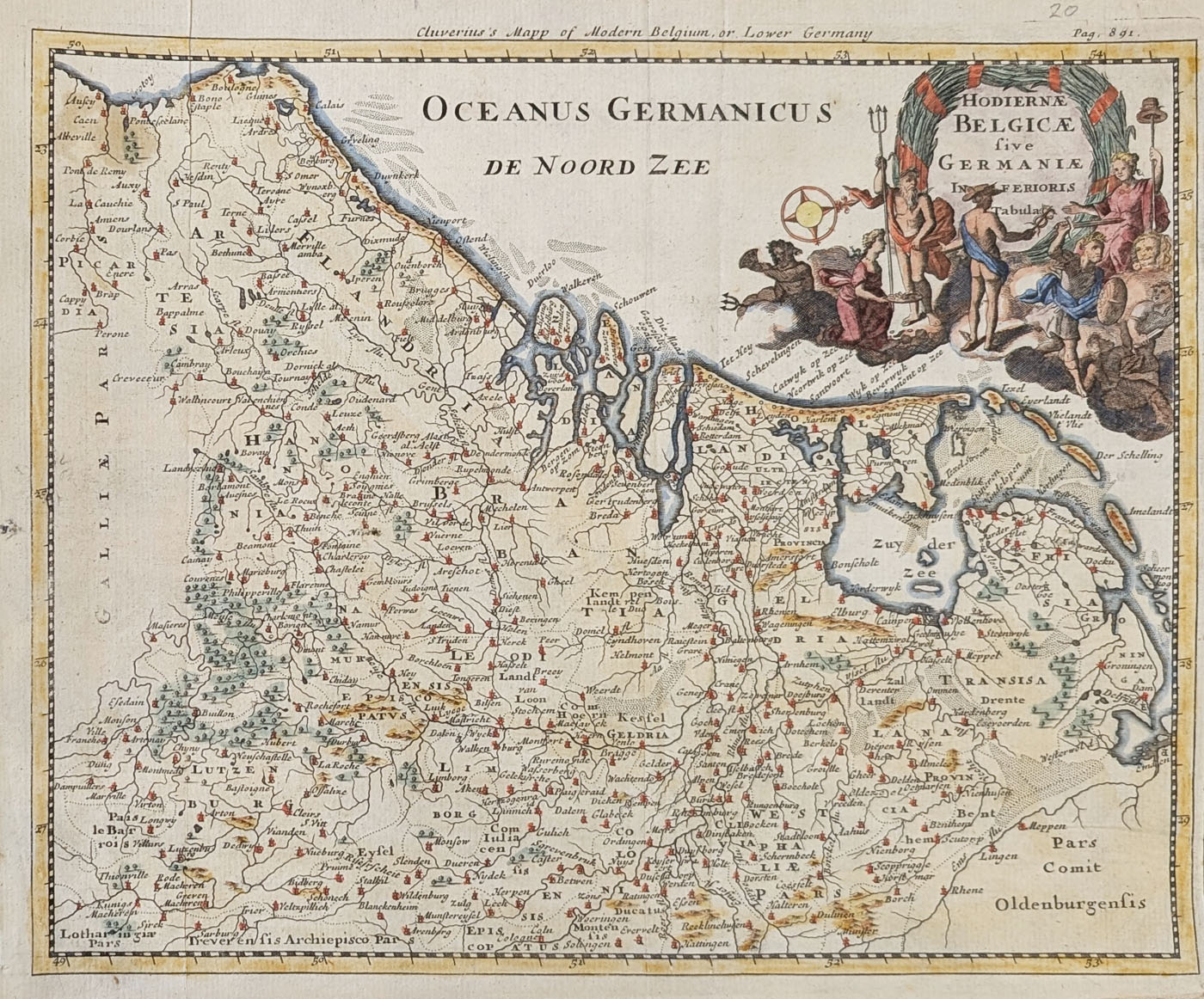
Title: Cluverruis's Map of Modern Belgium or Lower Germany - Hodierne Belgicae five Germaniae Inferioris Tabula
Publication: Introductio In Universam Geographiam - London by John Nicholson
Date: c.1704
Description: Very decorative, early 18th century map of The Netherlands and Belgium. Pictoral title cartouche
Condition: Close right margin, folding copy as published, later hand colouring, good bold imprint.
Image size: approx.
£95.00
Order No. 1869
Click here for framing suggestions
Early 18th century map of The Netherlands and Belgium by Cluver
Opening Hours:
Mon - Closed
Tues-Fri 10am-1.30pm, 2.30-5.30pm
Sat 10am-1.30pm
© Devonshire Fine Art
Mon - Closed
Tues-Fri 10am-1.30pm, 2.30-5.30pm
Sat 10am-1.30pm
© Devonshire Fine Art
 Free UK Mainland Delivery*
Devonshire Fine Art
9 Church Street
Modbury
Devon PL21 0QW. UK
01548 830872
9 Church Street
Modbury
Devon PL21 0QW. UK
01548 830872


