
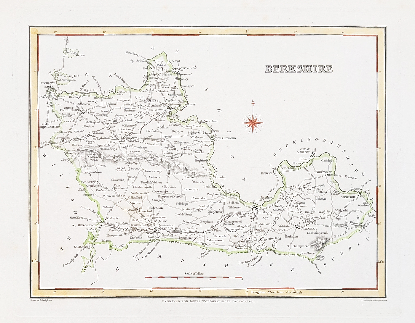
Antique Map of Berkshire by Creighton and Walker, c.1831
About this 19th-century Berkshire County Map
This antique map of Berkshire was produced by Robert Creighton and published by J. & C. Walker around 1831 for Lewis's Topographical Dictionary. It depicts the historic English county and identifies places including Reading, Windsor, Newbury, Abingdon, Wantage and Wokingham.
Dating from the early nineteenth century, this original county map offers a detailed record of Berkshire's towns and settlements. It is an appealing piece for collectors of antique British county maps, local history enthusiasts and anyone with an interest in the historic geography of Berkshire.
The map has later hand colouring, a bold imprint and minor age-related blemishes. The paper is described as being in good condition.
Map Details
- County: Berkshire, England
- Mapmaker: Robert Creighton
- Publisher: J. & C. Walker
- Publication: Lewis's Topographical Dictionary
- Date: Circa 1831
- Places shown: Reading, Windsor, Newbury, Abingdon, Wantage and Wokingham
- Condition: Good paper, bold imprint, later hand colouring and minor age-related blemishes
- Map dimensions: 210 × 270 mm (approximately 8.25 × 10.5 inches)
- Order number: 4820
- Price: £34.95
Framing options are available for this antique Berkshire map. Please select your preferred format and glazing options below, and check the final total before placing your order.
Explore more antique maps of Berkshire, browse our collection of antique maps of the British Isles, or find out more about our antique map framing options.
Explore More Antique Maps
Discover more antique maps of Berkshire, browse our antique maps of the British Isles, or learn about our map framing service.
Mon - Closed
Tues-Fri 10am-1.30pm, 2.30-5.30pm
Sat 10am-1.30pm
© Devonshire Fine Art
 Free UK Mainland Delivery*
9 Church Street
Modbury
Devon PL21 0QW. UK
01548 830872


