
17th-Century Antique Chart of the Bristol Channel, c.1679.
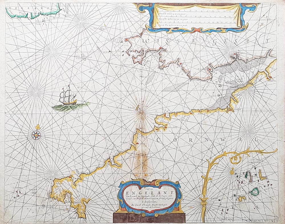
Antique Dutch Sea Chart of the Bristol Channel
Title: Cuft Van ENGELANT Van Lezard tot Engelands cynd...
Date: Circa 1679
Mapmaker and publication: Attribution to be verified against the original chart and relevant bibliographical references.
Image size: 425 × 532 mm (approximately 16.75 × 21 inches)
Condition: Folding chart with discolouration along the centre fold and some spotting.
£595.00 Now £340.00
Antique Chart of the Bristol Channel, circa 1679
This 17th-century antique sea chart depicts the Bristol Channel and the surrounding coastline of south-west Britain. Extending from the Lizard in Cornwall to Milford Haven in Wales, the chart also shows the Isles of Scilly and Ireland. It provides a historical record of the coastal geography represented by Dutch maritime chartmakers in the late 17th century.
Geographical Coverage
The chart covers the western approaches to the Bristol Channel and parts of the coastline of Cornwall and south-west Wales. It will appeal to collectors interested in early British sea charts, maritime history and the historic mapping of south-west England. Explore our related collections of antique maps of Devon and antique maps of Cornwall.
Dutch Maritime Cartography in the 17th Century
Dutch mapmakers and publishers played an important role in the development and circulation of European sea charts during the 17th century. The original Dutch title and publication details make this chart a particularly interesting subject for collectors of historical cartography. The precise maker and publication attribution should be established from reliable specialist references.
Condition and Dimensions
This folding antique chart measures approximately 425 × 532 mm (16.75 × 21 inches). Its recorded condition includes discolouration along the centre fold and some spotting. Please inspect the product image and contact us if you require additional information about its condition before purchasing.
Buy the Antique Bristol Channel Chart
This historic Bristol Channel chart is offered by Antique Maps Online for £340. For information about delivery arrangements, please see our delivery information. Free UK mainland delivery is available in accordance with our delivery terms.
Discover more historic maritime cartography in our collection of antique sea charts, or browse our antique maps of Bristol. For presentation options, visit our map framing service.
Mon - Closed
Tues-Fri 10am-1.30pm, 2.30-5.30pm
Sat 10am-1.30pm
© Devonshire Fine Art
 Free UK Mainland Delivery*
9 Church Street
Modbury
Devon PL21 0QW. UK
01548 830872


