
Britain and Ireland by Henri Abraham Châtelain
Back to: British Isles
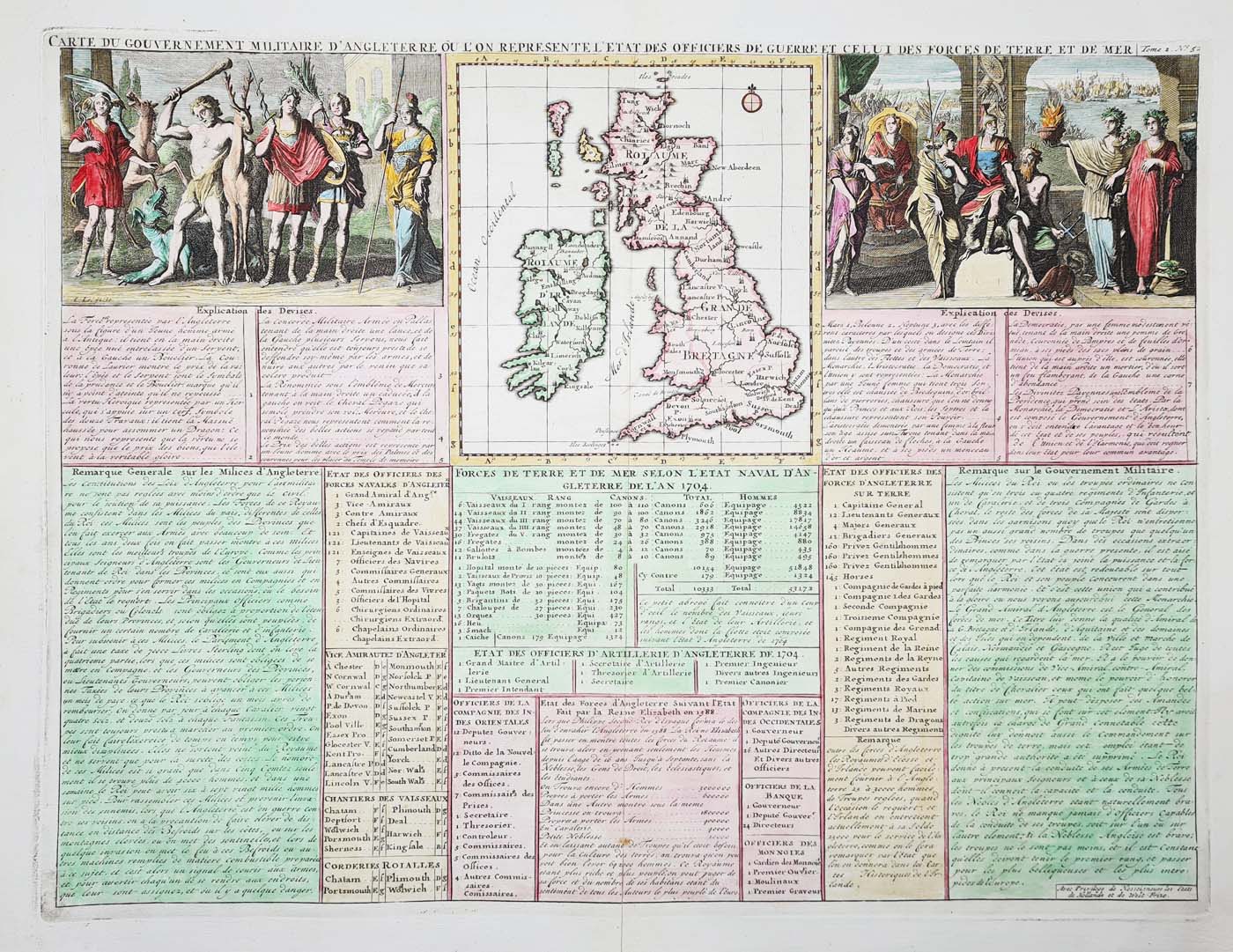
Title: Carte du Gouvernment Militaire d'Angleterre ou l'on Represente l'etat des Offichers de Guerre et cellui des Forces de Terre t de Mer.
Publication: Atlas Historique, Tome No.2, Page 52.
Date: 1719
Description: Published in Amsterdam in 1719, a highly decorative and detailed composite sheet of text and allegorical views. Centre top has a map of Great Britain and Ireland.
Condition: Bold imprint, folding copy as published, later hand colouring. Good margins.
Image size: 385 x 445mm, 15 x 17.5" approx.
£495.00
Order No. 4262
Henri Abraham Châtelain (1684 - 1743)
Henri Abraham Chatelain (1684 - 1743) was a Huguenot pastor of Parisian origins. He lived consecutively in Paris, St. Martins, London (c. 1710), The Hague (c. 1721) and Amsterdam (c. 1728). He is best known as a Dutch cartographer and more specifically for his cartographic contribution in the seminal Atlas Historique, published in Amsterdam between 1705 and 1720. Innovative for its time, the Atlas Historique combined fine engraving and artwork with scholarly studies of geography, history, ethnology, heraldry, and cosmography. This was a major work of its time, an encyclopaedia in seven volumes with text by Nicholas Gueudeville and maps by Châtelain after Guillaume De L'Isle.
Mon - Closed
Tues-Fri 10am-1.30pm, 2.30-5.30pm
Sat 10am-1.30pm
© Devonshire Fine Art
 Free UK Mainland Delivery*
9 Church Street
Modbury
Devon PL21 0QW. UK
01548 830872


