
Buckinghamshire by Emanuel Bowen
Back to: Buckinghamshire | Emanuel Bowen
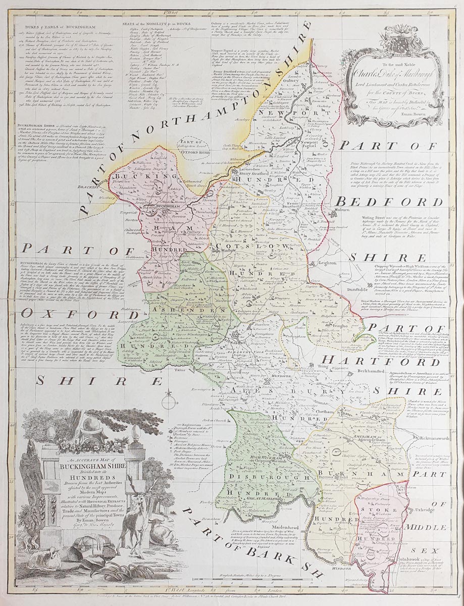
Title: An Accurate map of Buckinghamshire Divided into its Hundreds...
Publication:Large English Atlas
Date: c.1787
Description: Large county map, copperplate engraving. Very detailed, denotes the commerce and agriculture of the county.
Condition: Folding copy as published, two professional repairs to centre left, early hand colouring, priced accordingly.
Image size: 700 x 535mm,
27.5 x 21" approx.
SOLD
Order No.3844
Buckinghamshire 18th century map by Emanuel Bowen
Opening Hours:
Mon - Closed
Tues-Fri 10am-1.30pm, 2.30-5.30pm
Sat 10am-1.30pm
© Devonshire Fine Art
Mon - Closed
Tues-Fri 10am-1.30pm, 2.30-5.30pm
Sat 10am-1.30pm
© Devonshire Fine Art
 Free UK Mainland Delivery*
Devonshire Fine Art
9 Church Street
Modbury
Devon PL21 0QW. UK
01548 830872
9 Church Street
Modbury
Devon PL21 0QW. UK
01548 830872


