
Antique Map of Cambridgeshire by Creighton & Walker, c.1831
This original antique map of Cambridgeshire was produced by Robert Creighton and published by James and Charles Walker around 1831 in Lewis's Topographical Dictionary. Dating from the early 19th century, it depicts the historic county of Cambridgeshire, including Cambridge, Ely, Wisbech (then spelt Wisbeach) and Doddington. The map features later hand colouring and retains a bold printed imprint. An attractive example of early Victorian county cartography, suitable for collectors of antique maps, local history enthusiasts and anyone with an interest in Cambridgeshire.
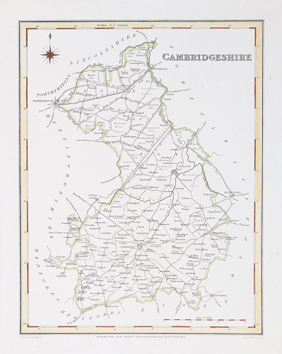
Antique Cambridgeshire County Map by Creighton & Walker
Title: Cambridgeshire
Mapmakers: Robert Creighton and James & Charles Walker
Publication: Lewis's Topographical Dictionary
Date: Circa 1831
Description: Early 19th-century county map showing Cambridge, Ely, Wisbeach and Doddington.
Condition: Paper good, bold imprint, later hand colouring.
Image size: 210 x 270mm (approximately 8.25 x 10.5 inches).
Price: £34.95
Order number: 4822
About This 19th-Century Map of Cambridgeshire
Robert Creighton was associated with the production of county maps published by James and Charles Walker during the early 19th century. This map of Cambridgeshire appeared in Lewis's Topographical Dictionary, a geographical reference work published in the 1830s.
The map provides a historical representation of the county at a time when Cambridgeshire was predominantly rural. Cambridge, Ely, Wisbeach and Doddington are among the places identified. Its later hand colouring adds to its decorative appeal and makes it an interesting example of early Victorian mapmaking.
Explore More Antique Maps of Cambridgeshire
Browse our collection of antique maps of Cambridgeshire, including historic county maps from the 17th, 18th and 19th centuries.
You can also explore our collection of antique city maps or browse our antique maps of the British Isles.
Frequently Asked Questions
Who produced this antique map of Cambridgeshire?
The map was produced by Robert Creighton and published by James and Charles Walker in Lewis's Topographical Dictionary around 1831.
How old is this Cambridgeshire map?
The map dates from approximately 1831, making it an early 19th-century example of historical county cartography.
Is this an original antique map?
Yes, this is an original antique map rather than a modern reproduction. It has later hand colouring and is described as being in good paper condition.
Can this antique Cambridgeshire map be framed?
Yes. Framing options are available, with a choice of different frame styles and glass options. Please see our antique map framing service for further information.
Mon - Closed
Tues-Fri 10am-1.30pm, 2.30-5.30pm
Sat 10am-1.30pm
© Devonshire Fine Art
 Free UK Mainland Delivery*
9 Church Street
Modbury
Devon PL21 0QW. UK
01548 830872


