
Antique Sea Chart of South Devon by Capt. Greenville Collins
Back to: Charts | Devon | Greenville Collins Charts
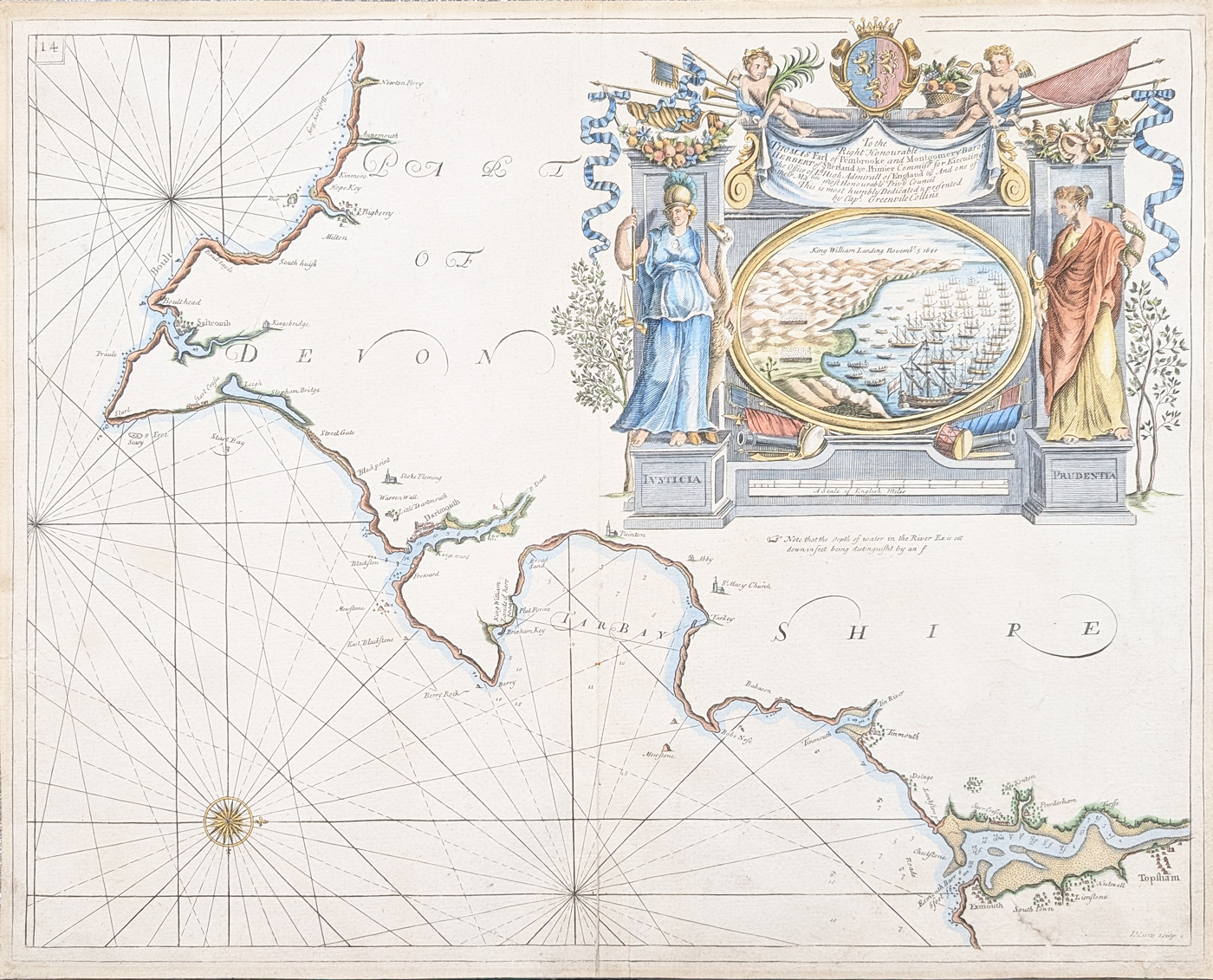
Title: 'To the Right Honourable THOMAS Earl of Pembrooke and Montgomery Baron Herbert S. Herland etc. Primier Commisfs for Executing the Office of L. High Admiral of England etc. And one of their Ma'ties mos Honourable Privy Council. This is most Humbly Dedicated & prefented by Capt. Greenville Collins'
Publication: The British Coasting Pilot
Date: c.1693
Description: 17th century Chart of South Devon by Captain Greenville Collins. Featuring a highly decorative title cartouche which depicts an event contemporary to the survey, the 'Landing of King William, Nov. 5th 1688' in Torbay.
Condition: Good paper, bold imprint, folding copy as published. Some age toning and spotting, old mount marks to margins and minor creases and 3 areas of old strengthening . Later hand colouring. Possibly first edition. Priced accordingly.
Image size: 460 x 572mm, 18 x 22.5 " approx.
SOLD
Order No. 4768
Click here for framing suggestions
Capt. Greenville Collins
In 1676 Collins was commissioned by Charles II, and appointed by Samuel Pepys (who was then Secretary to the Admiralty), to chart the coasts of Great Britain and he produced his Great Britain's Coasting Pilot in 1693, this was the first original sea atlas to be produced by an Englishman.
Collins engaged the services of various engravers to cut the plates including Herman Moll, Harris, Moxon and Lamb, final publication was twelve years after the initial commission.
Old sea chart of South Devon by Capt. Greenville Collins
Mon - Closed
Tues-Fri 10am-1.30pm, 2.30-5.30pm
Sat 10am-1.30pm
© Devonshire Fine Art
 Free UK Mainland Delivery*
9 Church Street
Modbury
Devon PL21 0QW. UK
01548 830872


