
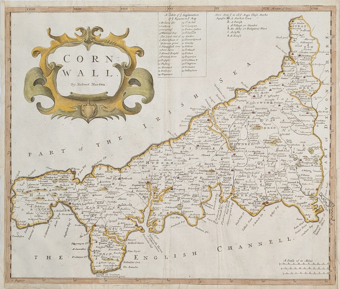
Antique Map of Cornwall by Robert Morden, c.1695
Map details
| Mapmaker | Robert Morden |
|---|---|
| Region | Cornwall, England |
| Date | c.1695 |
| Publication | Camden's Britannia |
| Map size | 360 × 420 mm (approximately 14 × 16.5 inches) |
| Price | £245.00 |
| Colouring | Later hand colouring |
| Condition | Good bold print; folding copy; close margins with additions |
| Reference | Order no. 4995 |
About this antique map of Cornwall
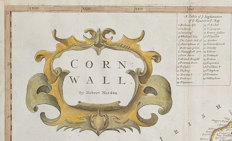
This antique map of Cornwall was engraved by Robert Morden and published in Camden's Britannia around 1695. It provides a fascinating view of Cornwall at the end of the seventeenth century, showing historic towns, villages and other locations that can be compared with the modern county.
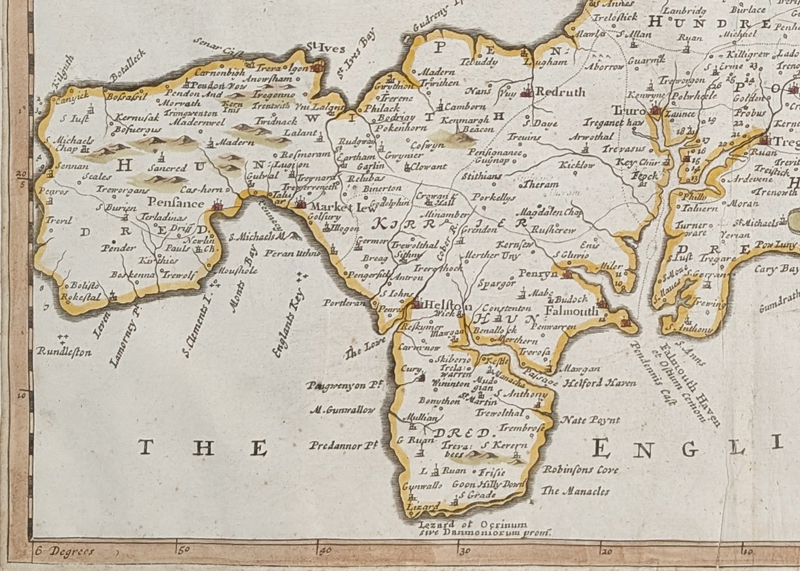
The map includes Truro, Redruth, Camborne, Bodmin, Lostwithiel, Falmouth, Penzance, St Ives, Land's End and The Lizard. The decorative cartographic style and later hand colouring make it an attractive example of a seventeenth-century map of Cornwall.
Robert Morden's map of Cornwall
Robert Morden was one of the important English mapmakers of the late seventeenth and early eighteenth centuries. His maps are particularly interesting to collectors because they record the geography and place names of Britain before the development of modern Ordnance Survey mapping.
About Robert Morden
Robert Morden was an important English mapmaker of the late 17th and early 18th centuries. His county maps are particularly associated with Camden's Britannia and are collected for their historical representation of England before modern mapping.
See our antique maps by Robert Morden for other examples of his work.
Related Antique Maps
Mon - Closed
Tues-Fri 10am-1.30pm, 2.30-5.30pm
Sat 10am-1.30pm
© Devonshire Fine Art
 Free UK Mainland Delivery*
9 Church Street
Modbury
Devon PL21 0QW. UK
01548 830872


