
Cumberland by Thomas Jenner
Back to: Cumberland
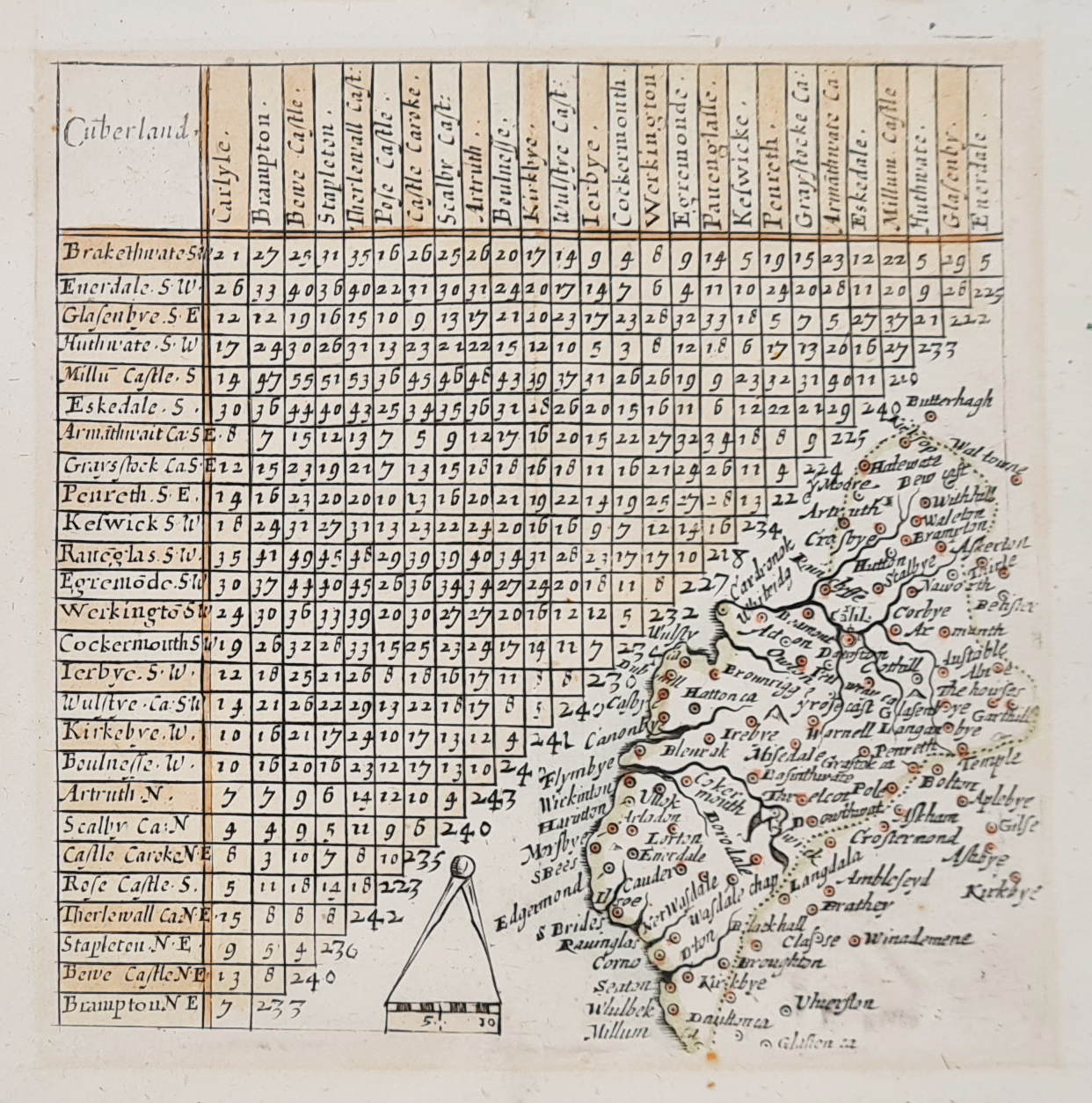
Title: Cumberland
Publication: A Direction for the English Traviller
Date: 1643
Description: Mid 17th century county map of Cumbria, published during the Civil War, featuring Norden's mileage chart, place names include Enerdale, Warfdale, Cockermouth, Acton, Workington, Keswick. Compass and scale to centre bottom. First published in 1635 by Mathew Simmons, these by Jenner the 'thumb-nail' county maps have been erased, and larger maps on double the scale (10 miles=about 1/2 ins.) engraved in their place in the triangular space in the lower right-hand corner of the plates.
Condition: Good imprint, later hand colouring, some old tape marks to margins.
Image size: 100 x 100mm, 4 x 4" approx.
SOLD
Order No.4066
Cumberland 17th century map by Jenner
Thomas Jenner (fl. 1618-73)
A print seller, publisher, puritan and parliamentarian. Best known for two cartograpghic works; the re-issue of Matthew Simmons' A Direction for the English Traviller; and a map of England and Wales known as the Quartermaster's Map. The first he issued in 1643, having re-worked the paltes used by Simmons in 1635-36, the maps being drawn at twice the original scale with the place names shown in full; John Norden's distance table remains, although the border and London mileage line were partly erased. The order in which these maps wrer revised makes it seem likely that they were issued to meet the demands of the armies in the Civil War.
Mon - Closed
Tues-Fri 10am-1.30pm, 2.30-5.30pm
Sat 10am-1.30pm
© Devonshire Fine Art
 Free UK Mainland Delivery*
9 Church Street
Modbury
Devon PL21 0QW. UK
01548 830872


