
English Channel Chart by Justus Danckerts
Back to: Charts
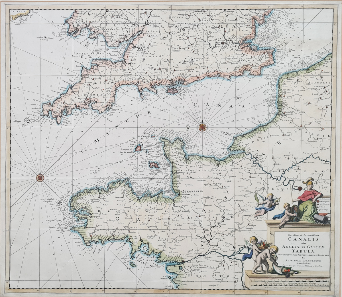
Title: Noviffima et Accuratiffima CANALIS inter ANGLIAE ET GALLIAE TABULA cum omnibus suis portibus. Arenis et Profundis per Iustinum Danckerum Amstelodami cum PrivilegioOrdinum Hollande et Westfrisiae.
Publication: Unknown
Date: c.1690
Description: This 17th century chart features many rhumb lines, two compass roses, sandbanks, anchorages, soundings, and hazards are delineated. Three important sea battles are marked by crossed swords and dates: 1666 (Four Days Battle), 1690 (Battle of Beachy Head) and 1692 (Battle of La Hogue). A decorative title cartouche contains four cherubs and femail warrior, possibly, Boudica.
Condition: Bold imprint, folding copy as published, later hand colouring.
Image size: 510 x 580mm, 20 x 22.75" approx.
SOLD
Order No. 3972
Justus Danckerts (11 November 1635 – 16 July 1701)
Born in Amsterdam, an engraver and print publisher who along with other members of the Danckerts family were prominent print and map sellers active in Amsterdam for nearly a century. Justus, the son of Cornelis Danckerts the Elder (1603-1656), who established the Danckerts cartographic family business, produced, in the early 1680s over 20 folio-sized atlas maps.
Theodorus Danckerts I (1663-1727) and Cornelis Danckerts II (1664-1717) the sons of Justus, also worked in the family business. The Danckerts were also noted for production of splendid wall maps of the World and continents
Publications:
1680 - 1700 Atlas. Several editions with the number of maps varying from 26 to approximately 100: no text on reverse.
c.1690 Pocket Atlas of the Southern Netherlands: map in 32 numbered sections.
1703 - Planisphere Terreste, a re-issue of J. B. Nolin's World Map (1690) on J. D. Cassini's planisphere.
Mon - Closed
Tues-Fri 10am-1.30pm, 2.30-5.30pm
Sat 10am-1.30pm
© Devonshire Fine Art
 Free UK Mainland Delivery*
9 Church Street
Modbury
Devon PL21 0QW. UK
01548 830872


