
Gloucestershire by Joseph Ellis
Back to: Gloucestershire
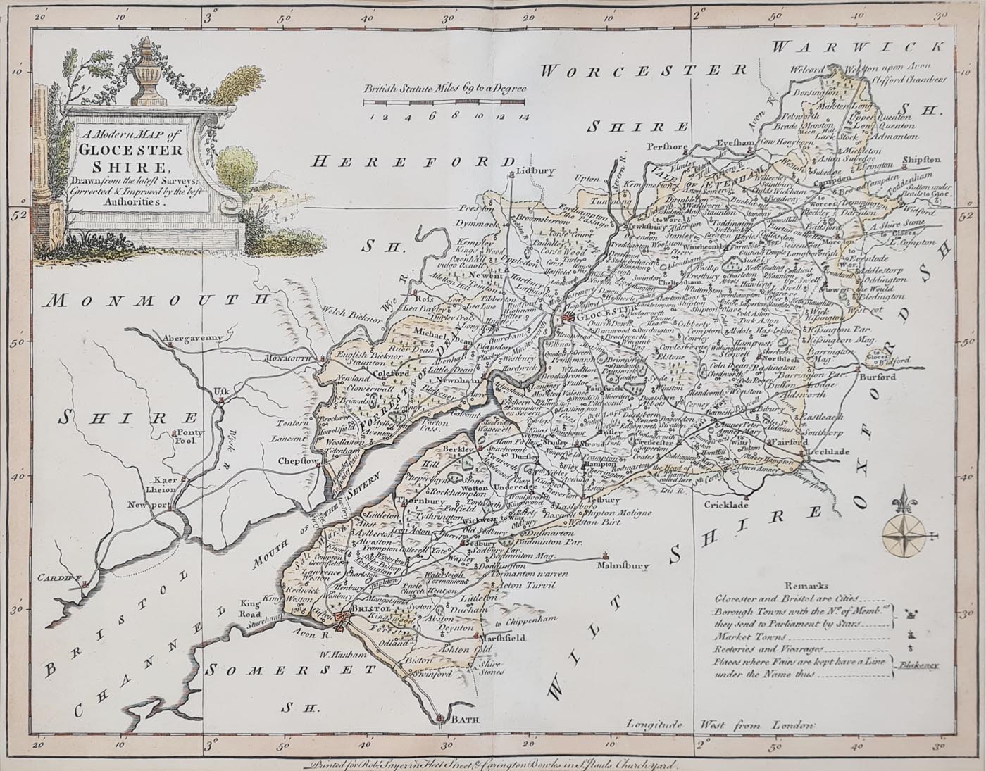
Title: A Modern MAP of Gloucestershire Drawn from the lateft Surveys Corrected & Improved by the beft Authorities.
Publication: Robert Sayer in Fleet Street and Carrington Bowles in St. Paul's Church Yard
Date: 1773
Description: 18th century map of the county, decorative title cartouche, table of 'Remarks', and a compass rose.
Condition: Later hand colouring, folding copy as published close margins.
Image size: 200 x 250mm, 8 x 10" approx.
£35.00
Order No. 4141
Click here for framing suggestions
Gloucestershire by Joseph Ellis 18th century map
Opening Hours:
Mon - Closed
Tues-Fri 10am-1.30pm, 2.30-5.30pm
Sat 10am-1.30pm
© Devonshire Fine Art
Mon - Closed
Tues-Fri 10am-1.30pm, 2.30-5.30pm
Sat 10am-1.30pm
© Devonshire Fine Art
 Free UK Mainland Delivery*
Devonshire Fine Art
9 Church Street
Modbury
Devon PL21 0QW. UK
01548 830872
9 Church Street
Modbury
Devon PL21 0QW. UK
01548 830872


