
Hadrian's Wall possibly John Cary circa 1805
Back to: Scotland | Miscellaneous
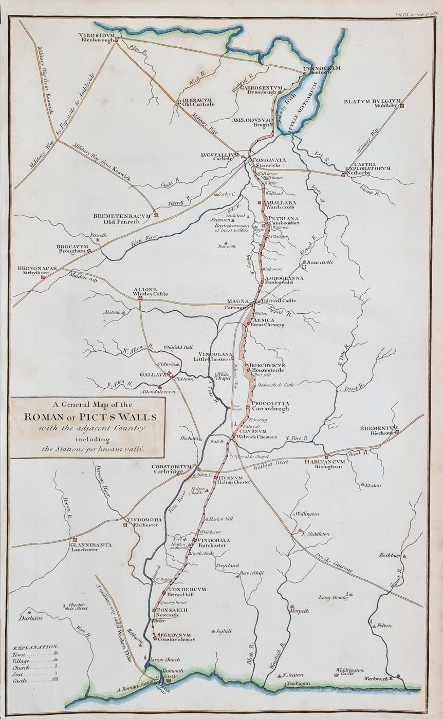
Title: A General Map of the ROMAN or PICTS WALLS, with the adjacent Country including the Stations per lineam valli
Publication: Unknown, Vol.III to face p.486
Date: circa 1805
Description: Detailed map of Hadrian's Wall orientated with East at the top, possibly by John Cary. Scarce.
Condition: Good imprint, later hand colouring, minor foxing marks, some age toning to edges, later hand colouring.
Image size: 415 x 253mm, 16.25 x 10" approx.
SOLD
Order No. 4174
Click here for framing suggestions
19th century map of Hadrian's Wall
Opening Hours:
Mon - Closed
Tues-Fri 10am-1.30pm, 2.30-5.30pm
Sat 10am-1.30pm
© Devonshire Fine Art
Mon - Closed
Tues-Fri 10am-1.30pm, 2.30-5.30pm
Sat 10am-1.30pm
© Devonshire Fine Art
 Free UK Mainland Delivery*
Devonshire Fine Art
9 Church Street
Modbury
Devon PL21 0QW. UK
01548 830872
9 Church Street
Modbury
Devon PL21 0QW. UK
01548 830872


