
Hampshire by John Cary
Back to: Hampshire
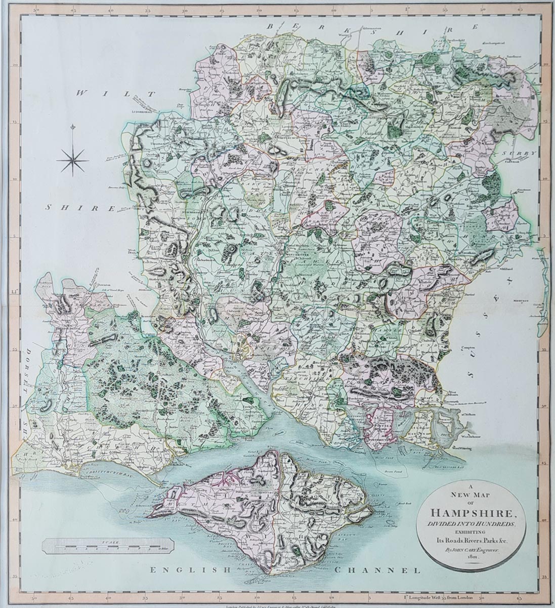
Title: A New map of Hampshire Divided into Hundreds Exhibiting its Roads, Rivers, Parks etc.
Publication: New English Atlas
Date: 1801
Description: Large map of the county by one of the most prolific cartographers of the late 18th and early 19th century. Places include Isle of Wight, Fareham, Portsmouth, Southampton, Lymington, Winchester, Havant, Andover, Basingstoke
Condition: Early hand colouring, folding copy as published.
Image size:540 x 475mm, 21.25 x 18.75" approx.
SOLD
Order No. 4035
Early 19th century map of Hampshire by John Cary
Opening Hours:
Mon - Closed
Tues-Fri 10am-1.30pm, 2.30-5.30pm
Sat 10am-1.30pm
© Devonshire Fine Art
Mon - Closed
Tues-Fri 10am-1.30pm, 2.30-5.30pm
Sat 10am-1.30pm
© Devonshire Fine Art
 Free UK Mainland Delivery*
Devonshire Fine Art
9 Church Street
Modbury
Devon PL21 0QW. UK
01548 830872
9 Church Street
Modbury
Devon PL21 0QW. UK
01548 830872


