
18th century Antique Map of Hampshire
Back to: Hampshire | Thomas Kitchin
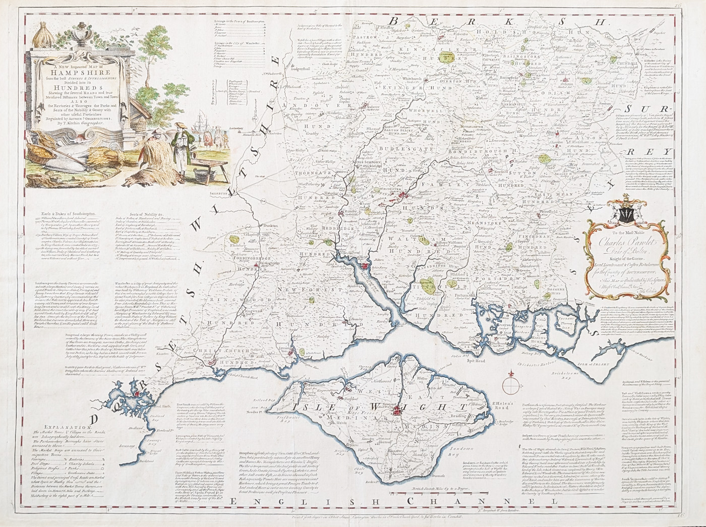
Title: A New Improved Map of HAMPSHIRE from the beft surveys & Intelligences Divided into its HUNDREDS shewing the feveral ROADS and true Measured Diftances between Town and Town, ALSO the Rectories & Vicarages, the Parks and Seats of the Nobility and Gentry with other ufeful Particulars Regulated by ASTRON'L OBSERVATIONS By Thomas Kitchin Geographer.
Publication: The Large English Atlas
Date: c.1780
Description: A highly decorative map with extensive details relating to the commerce, agriculture and administration of each town and city. Published by Emanuel Bowen and Thomas Kitchin.
Condition: Bold imprint, early hand colouring, folding copy as published, some marginal marks.
Image size: 520 x 680mm
20.5 x 26.75"
approx.
£345.00
Order No. 4769
Original antique map of Hampshire by Thomas Kitchin
Opening Hours:
Mon - Closed
Tues-Fri 10am-1.30pm, 2.30-5.30pm
Sat 10am-1.30pm
© Devonshire Fine Art
Mon - Closed
Tues-Fri 10am-1.30pm, 2.30-5.30pm
Sat 10am-1.30pm
© Devonshire Fine Art
 Free UK Mainland Delivery*
Devonshire Fine Art
9 Church Street
Modbury
Devon PL21 0QW. UK
01548 830872
9 Church Street
Modbury
Devon PL21 0QW. UK
01548 830872


