
Kent by Norden and Kip 1607
Back to: Kent
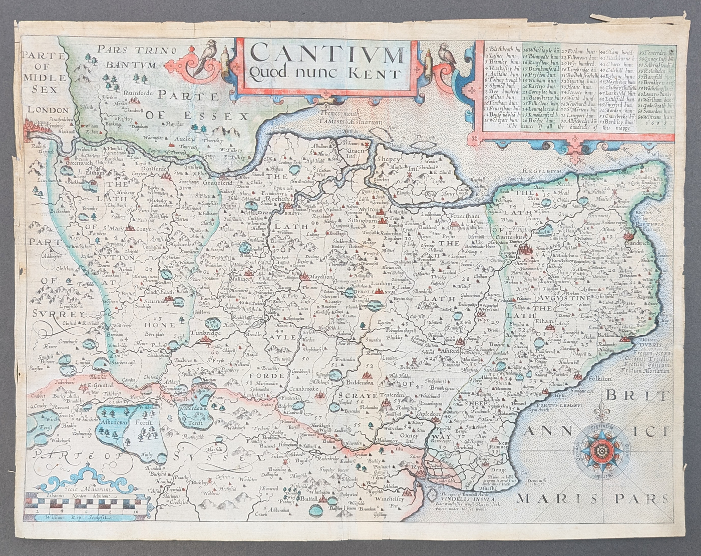
Title: CANTIVM Quod nune KENT
Publication: Camden's Britannia
Date: c. 1607
Description: Early 17th century map of Kent drawn by Johannes Norden and engraved by William Kip. This first edition was printed on very thin paper with Latin text verso. Place names include Tonbridge Wells, Canterbury, Margate, Chatham, Maidstone, Eltham, Huthe, Rochester, Gravesend, Rye
Condition: Several areas of reinforcing verso, later hand colouring, close margins with frayed edges. Priced accordingly.
Image size: 283 x 380mm, 11.25 x 15" approx.
SOLD
Order No. 4937
Click here for framing suggestions
Kent antique map by Norden and Kip 1607
Opening Hours:
Mon - Closed
Tues-Fri 10am-1.30pm, 2.30-5.30pm
Sat 10am-1.30pm
© Devonshire Fine Art
Mon - Closed
Tues-Fri 10am-1.30pm, 2.30-5.30pm
Sat 10am-1.30pm
© Devonshire Fine Art
 Free UK Mainland Delivery*
Devonshire Fine Art
9 Church Street
Modbury
Devon PL21 0QW. UK
01548 830872
9 Church Street
Modbury
Devon PL21 0QW. UK
01548 830872


