
London, Westminster and Southwark Map by Samuel Neele 1806
Back to: London | Old Town Plans
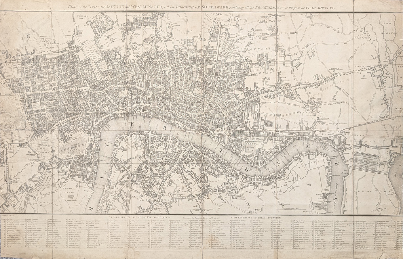
Title: PLAN of the CITIES OF LONDON AND WESTMINSTER with the BOROUGH OF SOUTHWARK exhibiting all the NEW BUILDINGS to the present YEAR MDCCCVI
Publication: Lamberts of London
Date: 1806
Description: Detailed street map of London and the River Thames. Features an 'alphabetical list of of 340 principal streets' inthe bottom section.
Condition: Folding copy, folding copy as published, cropping to left and right sides. Priced accordingly.
Image size: 420 x 660mm, 16.5 x 26" approx.
SOLD
Order No. 4704
Click here for framing suggestions
Early 19th century street map of London by Samuel Neele
Opening Hours:
Mon - Closed
Tues-Fri 10am-1.30pm, 2.30-5.30pm
Sat 10am-1.30pm
© Devonshire Fine Art
Mon - Closed
Tues-Fri 10am-1.30pm, 2.30-5.30pm
Sat 10am-1.30pm
© Devonshire Fine Art
 Free UK Mainland Delivery*
Devonshire Fine Art
9 Church Street
Modbury
Devon PL21 0QW. UK
01548 830872
9 Church Street
Modbury
Devon PL21 0QW. UK
01548 830872


