
Antique French Naval Manoeuvres Chart, c.1751
Antique Sea Charts > French Naval Manoeuvres Chart, c.1751
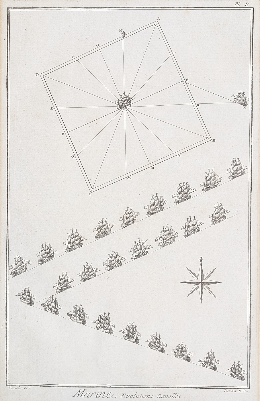
Marine, Evolutions Navalles
Publication: Diderot and d'Alembert Encyclopédie
Date: Circa 1751
Engraver: Bernard, after Grousier
Description: An 18th-century engraved chart illustrating French naval movements and manoeuvres.
Condition: Bold imprint and good image, with some discolouration and old tape marks to the margins.
Image size: 340 × 210 mm (approximately 13.5 × 8.25 inches)
Price: £45.00
Order number: 4932
View antique map framing suggestions
French Naval Manoeuvres in 18th-Century Engraving
This antique chart, dated circa 1751, illustrates French naval movements and manoeuvres. Published in the Encyclopédie associated with Denis Diderot and Jean le Rond d'Alembert, it represents the technical and practical subjects explored in one of the major reference works of the European Enlightenment.
The chart is attributed to Grousier as draughtsman and Bernard as engraver. Its subject makes it of interest to collectors of French maritime history, naval history, historical diagrams and 18th-century illustrated encyclopaedias.
The printed image measures approximately 340 × 210 mm. The example offered for sale has a good image and bold imprint, with some discolouration and old tape marks to the margins. Please refer to the product details above for its condition and price.
Collecting Antique Naval Charts and Historical Prints
Antique naval charts and diagrams provide insight into how maritime subjects were recorded and presented in historical publications. This example offers a compact piece of 18th-century printed history for collectors interested in naval affairs, French publishing and the history of cartography.
Browse antique sea charts for further examples of historic maritime cartography, or explore antique battle plans and war maps.
Mon - Closed
Tues-Fri 10am-1.30pm, 2.30-5.30pm
Sat 10am-1.30pm
© Devonshire Fine Art
 Free UK Mainland Delivery*
9 Church Street
Modbury
Devon PL21 0QW. UK
01548 830872


