
Monmouthshire by Herman Moll 1724
Back to: Wales | Herman Moll
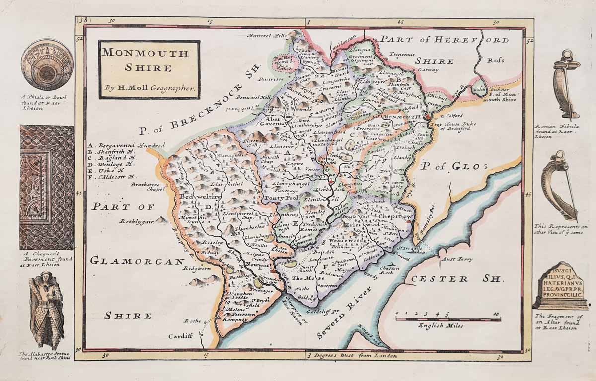
Title: Monmouthshire By H. MOLL Geographer
Publication: A New Description of England and Wales
Date: 1724 first edition
Description: Detailed and highly decorative early 18th century map of Essex by Herman Moll, first editon, features archeological and historical illustrations to the borders including A Bowl and Chequered Pavement at Kaerlheion, Alabaster Statue near Porch Shini, A Roman Brooch and part of an altar'..
Condition: Early hand colouring, close top margin, some age toning, good bold imprint..
Image size: 195 x 312mm
7.75 x 12.25" approx.
£95.00
Order No. 4024
18th century map of Monmouthshire by Herman Moll
Opening Hours:
Mon - Closed
Tues-Fri 10am-1.30pm, 2.30-5.30pm
Sat 10am-1.30pm
© Devonshire Fine Art
Mon - Closed
Tues-Fri 10am-1.30pm, 2.30-5.30pm
Sat 10am-1.30pm
© Devonshire Fine Art
 Free UK Mainland Delivery*
Devonshire Fine Art
9 Church Street
Modbury
Devon PL21 0QW. UK
01548 830872
9 Church Street
Modbury
Devon PL21 0QW. UK
01548 830872


