
Antique Sea Chart of New Britain and New Guinea after Capt. Cook
Back to: Antique Sea Charts | Pacific
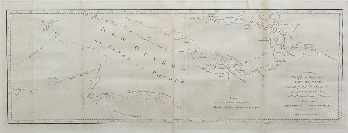
Title: A CHART of Capt. Carterets Discoveries at NEW BRITAIN with part of Capt. Cooke's Passage thro ENDEAVOUR STREIGHTS, & of Capt. Dampier's Tract & Discoveries in 1699 & 1700 at NEW GUINEA and NEW BRTAIN
Publication: Pleasant Row, Islington
Date: c.1773
Description: 18th century chart of New Guinea or Terra Papous.
Condition: Folding copy as published, copperplate engraving, some minor staining.
Image size: 215 x 640mm, 8.25 x 25" approx.
£155.00
Order No. 3829
18th century chart of Captain Cook's voyages
Opening Hours:
Mon - Closed
Tues-Fri 10am-1.30pm, 2.30-5.30pm
Sat 10am-1.30pm
© Devonshire Fine Art
Mon - Closed
Tues-Fri 10am-1.30pm, 2.30-5.30pm
Sat 10am-1.30pm
© Devonshire Fine Art
 Free UK Mainland Delivery*
Devonshire Fine Art
9 Church Street
Modbury
Devon PL21 0QW. UK
01548 830872
9 Church Street
Modbury
Devon PL21 0QW. UK
01548 830872


