
Antique Map of Norfolk by Robert Morden, c.1722
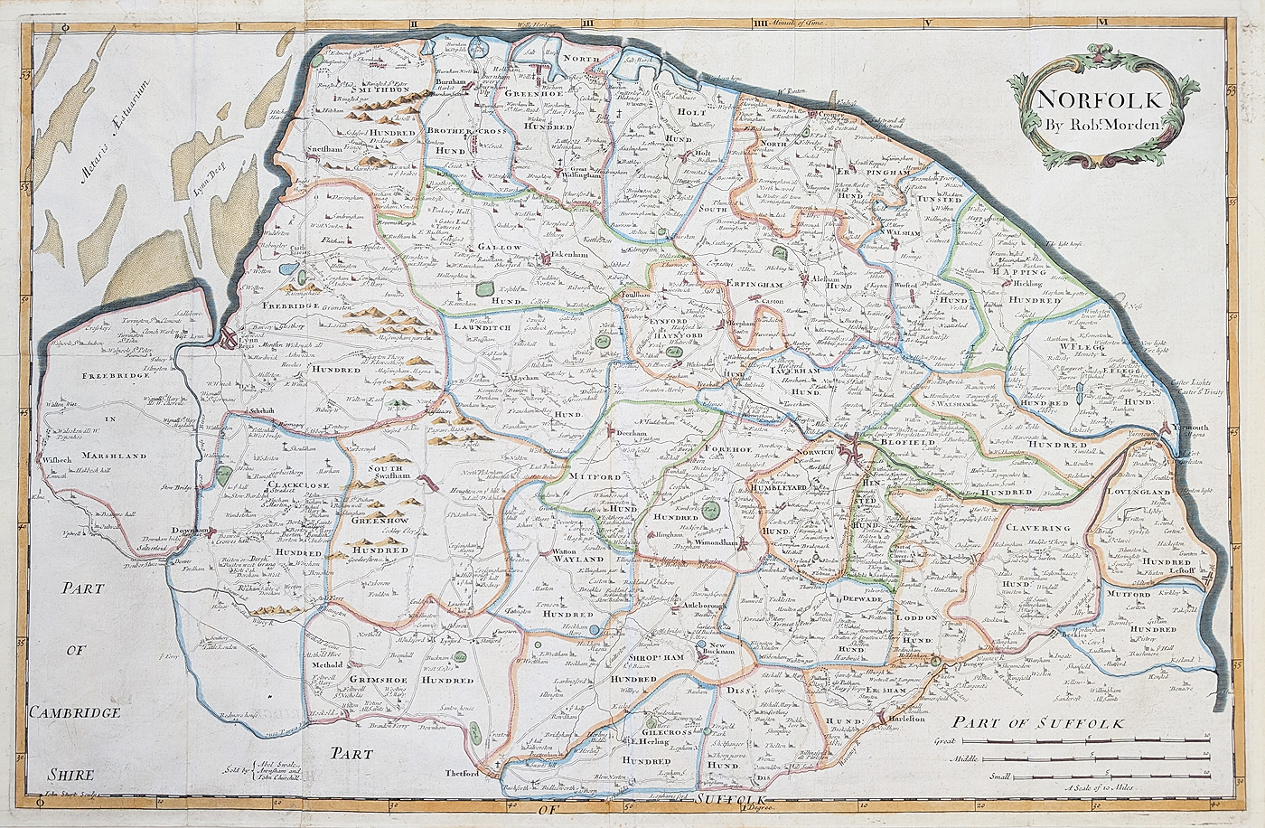
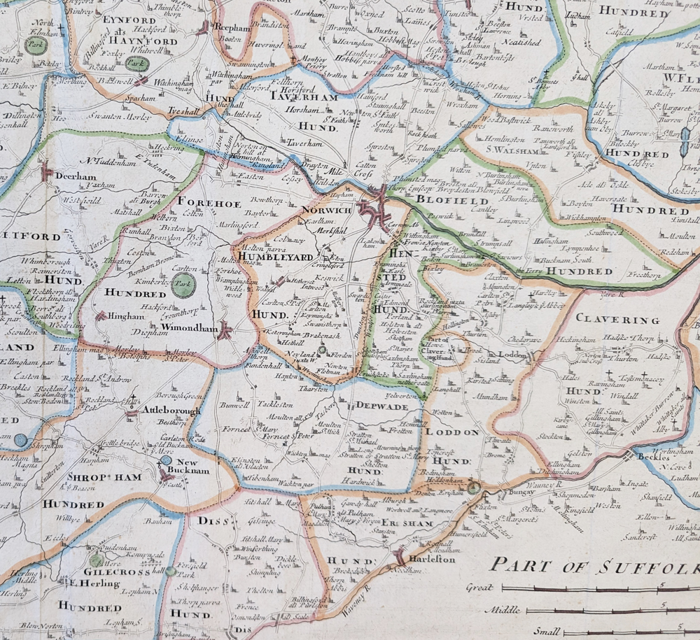
Robert Morden's Antique Map of Norfolk
This antique map of Norfolk by Robert Morden dates to circa 1722 and was published in Camden's Britannia. It depicts the historic English county of Norfolk and includes the important settlements of Norwich, King's Lynn and Great Yarmouth. The map features three different scales of miles, making it an interesting example of early eighteenth-century county cartography.
Robert Morden was an English mapmaker, publisher and bookseller known for his maps of the English counties. His county maps associated with Camden's Britannia remain popular with collectors of antique maps, local history and historical cartography.
This example is described as possibly being from a second edition. It is a folding copy as published, with a double-page image and later hand colouring. The map has some light creases and measures approximately 350 x 630 mm.
Condition and Dimensions
- Mapmaker: Robert Morden
- Subject: Norfolk, England
- Publication: Camden's Britannia
- Date: Circa 1722
- Edition: Possibly second edition
- Colour: Later hand colouring
- Format: Folding copy as published; double-page image
- Condition: Some light creases
- Image size: Approximately 350 x 630 mm (13.75 x 24.75 inches)
- Order number: 4560
- Price: £190
Click here for framing suggestions
*Almost twice the size of other Morden maps.
Explore More Antique Maps
Browse our collection of antique maps of Norfolk to discover other historic maps of the county.
Explore more antique maps by Robert Morden , or browse our antique maps of the British Isles .
Frequently Asked Questions
Who made this antique map of Norfolk?
The map was made by Robert Morden, an English mapmaker and publisher known for his county maps.
When was the Norfolk map published?
It is dated circa 1722 and is associated with Camden's Britannia.
Which places are shown on the map?
The description identifies Norwich, King's Lynn and Great Yarmouth, along with three different scales of miles.
What size is the map?
The image measures approximately 350 x 630 mm, or 13.75 x 24.75 inches.
Can the map be framed?
Yes. See our map framing options for available framing choices.
Mon - Closed
Tues-Fri 10am-1.30pm, 2.30-5.30pm
Sat 10am-1.30pm
© Devonshire Fine Art
 Free UK Mainland Delivery*
9 Church Street
Modbury
Devon PL21 0QW. UK
01548 830872


