
Northumberland Antique County Map circa 1831
Back to Northumberland | John and Charles Walker Maps
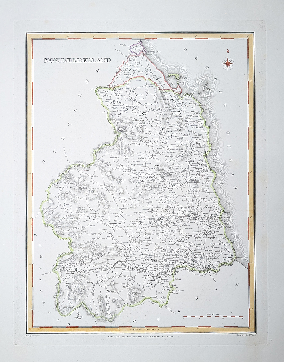
Title: Northumberland by Robert Creighton and James and Charles Walker
Publication: Lewis's Topographical Dictionary
Date: c. 1831
Description: Early 19th century county map featuring Hexham, Newcastle, Morpeth, Rothbury, North Sheilds, Bellingham.
Condition: Paper good, bold imprint, later hand colouring. Folding copy as published, minor age related blemishes. *Double page map.
Image size: 300 x 335mm, 12 x 13.5" approx.
12 x 13 x 25 " approx.
£34.95
Order No. 4844
Northumberland antique map by Creighton and Walker
Opening Hours:
Mon - Closed
Tues-Fri 10am-1.30pm, 2.30-5.30pm
Sat 10am-1.30pm
© Devonshire Fine Art
Mon - Closed
Tues-Fri 10am-1.30pm, 2.30-5.30pm
Sat 10am-1.30pm
© Devonshire Fine Art
 Free UK Mainland Delivery*
Devonshire Fine Art
9 Church Street
Modbury
Devon PL21 0QW. UK
01548 830872
9 Church Street
Modbury
Devon PL21 0QW. UK
01548 830872


