
Scotland by Étienne André Philippe de Prétot
Back to: Scotland
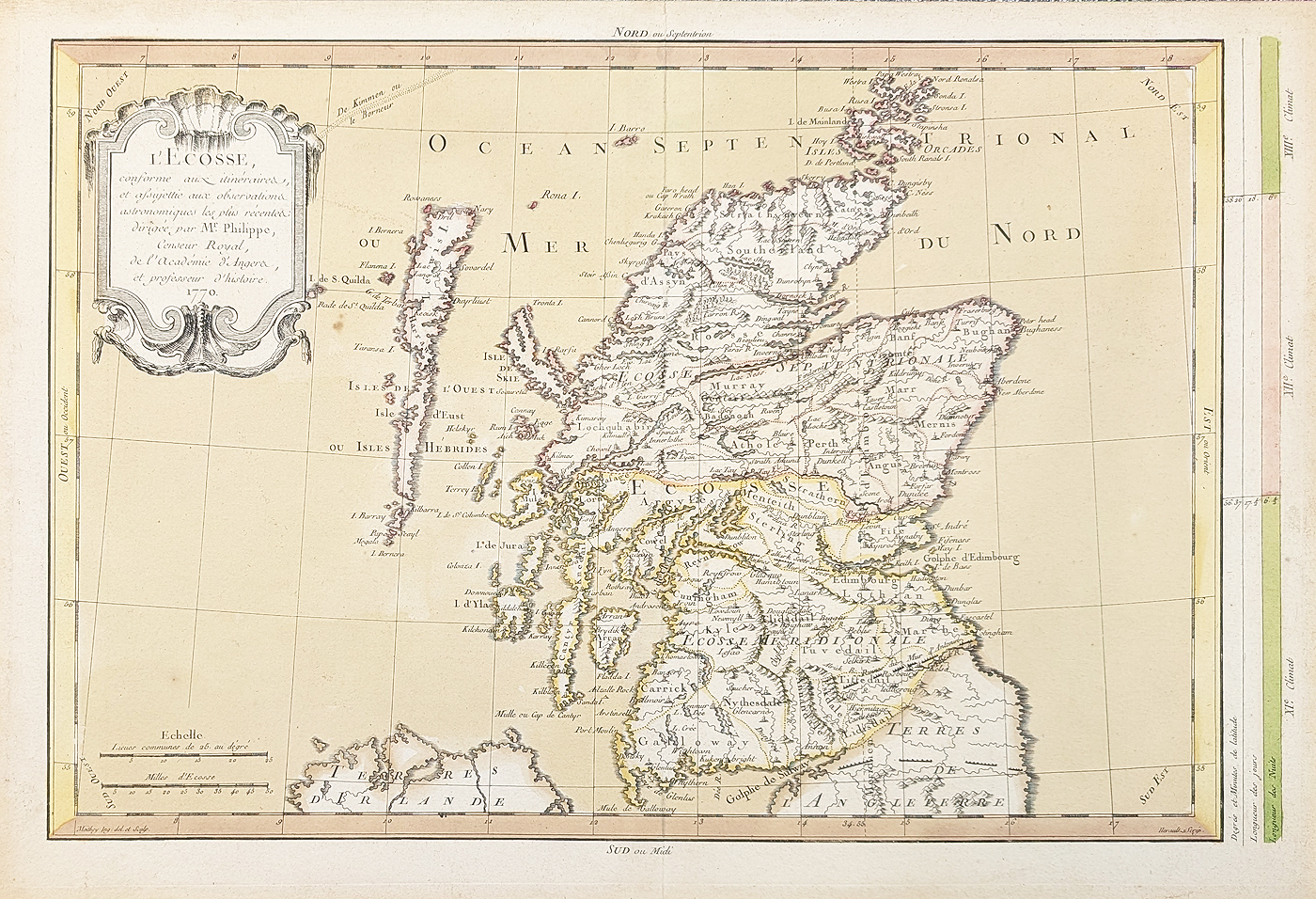
Title: L, Ecosse, conforme aux itinérares assujettic aux observations astronomiques les plus récentes dirgée par Mr. Philippe, Censeur Royal, de l'Académie d'Angers et professeur d'histoire 1770.
Publication: World Atlas for the study of geography and ancient and modern history by Prétot
Date: c. 1787
Description: 18th century, French map of Scotland including The Orkneys and Hebrides, with Roman walls and climate data. Decorative title cartouche, two different scales and key to right hand side which depicts daylight hours & latitude. Surveyed and drawn by Moithey, engraved by Herault.
Condition: Bold imprint, hand coloured, laid on board, some spotting, priced accordingly.
Image size: 275 x 405mm, 11 x 16" approx.
£85.00
Order No. 4928
Click here for framing suggestions
Scotland 18th century map by Philippe de Prétot.
Opening Hours:
Mon - Closed
Tues-Fri 10am-1.30pm, 2.30-5.30pm
Sat 10am-1.30pm
© Devonshire Fine Art
Mon - Closed
Tues-Fri 10am-1.30pm, 2.30-5.30pm
Sat 10am-1.30pm
© Devonshire Fine Art
 Free UK Mainland Delivery*
Devonshire Fine Art
9 Church Street
Modbury
Devon PL21 0QW. UK
01548 830872
9 Church Street
Modbury
Devon PL21 0QW. UK
01548 830872


