
Antique Map of North Somerset and South Wales, 1832 – John Cary
This antique map of North Somerset and South Wales was published on 2 July 1832 as part of John Cary’s Cary’s Improved Map of England and Wales. Identified as sheet 17, the map is dissected and laid on linen, with original hand colouring and marbled hardback covers incorporating a thumbnail key. This example is available for £85.
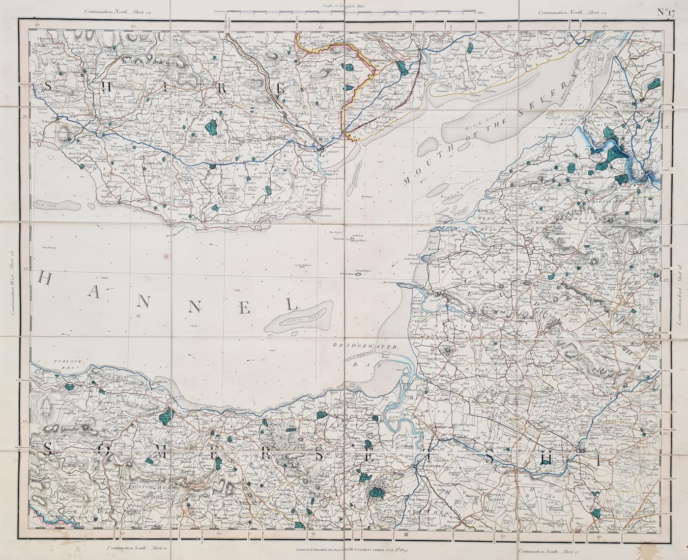
Map Details: North Somerset and South Wales, Sheet 17
Publication: Cary’s Improved Map of England and Wales
Date: 2 July 1832
Condition: Dissected and laid on linen, with original hand colouring, marbled hardback covers with thumbnail key, and some offsetting.
Map size: Approximately 560 × 675 mm (22 × 27 inches).
Order number: 4198
Price: £85.00
John Cary’s Map of North Somerset and South Wales, 1832
This sheet formed part of John Cary’s Cary’s Improved Map of England and Wales, published in the early nineteenth century. Dated 2 July 1832, sheet 17 depicts North Somerset and South Wales.
Original Colour and Linen Backing
This example was dissected and laid on linen, a format that allowed a map to be folded for storage and handling. It retains original hand colouring and marbled hardback covers with a thumbnail key. Some offsetting is noted in the condition description.
Condition and Dimensions
- Mapmaker: John Cary
- Publication: Cary’s Improved Map of England and Wales
- Date: 2 July 1832
- Sheet: 17
- Physical size: approximately 560 × 675 mm (22 × 27 inches)
- Condition: dissected and laid on linen, original hand colouring, marbled hardback covers and some offsetting
- Order reference: 4198
- Status: For sale
Mon - Closed
Tues-Fri 10am-1.30pm, 2.30-5.30pm
Sat 10am-1.30pm
© Devonshire Fine Art
 Free UK Mainland Delivery*
9 Church Street
Modbury
Devon PL21 0QW. UK
01548 830872


