
18th Century Chart of South Devon by Robert Sayer
Back to: Sea Charts | Devon
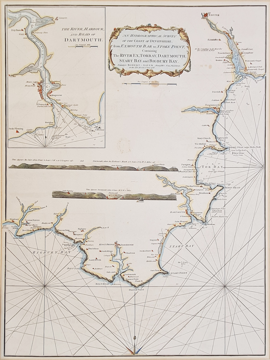
Title: An Hydrographical Survey of the Coast of Devonshire from Exmouth Bar to Stoke Point Containing The River Exe, Torbay, Dartmouth, Start Bay abd Bigbury Bay
Publication: The Channel Pilot: comprehending the English and French Coasts
Date: 10th June 1786
Description: By Robert Sayer and John Bennett. This sea chart was also later re-published by Laurie and Whittle. Very scarce chart of South Devon from Bigbury Bay to Exmouth. Features Rivers Yealm, Erme, Avon and Dartmouth, Salcombe and Kingsbridge, Torbay, Exmouth and Exeter. Has a Rococo title cartouche with vignettes of the headlands and an insert of Dartmouth an a larger scale. Very scarce.
Condition: Good impression, some spotting to paper, later hand colouring. Laid on board, old mount mark to margins, priced accordingly.
Image size: 690 x 520mm, 27 x 20.5" approx.
SOLD
Order No. 4078
Nautical Chart of South Devon by Sayer and Bennett
Mon - Closed
Tues-Fri 10am-1.30pm, 2.30-5.30pm
Sat 10am-1.30pm
© Devonshire Fine Art
 Free UK Mainland Delivery*
9 Church Street
Modbury
Devon PL21 0QW. UK
01548 830872


