
Antique Map of Southwark
Back to: London | Antique City Maps
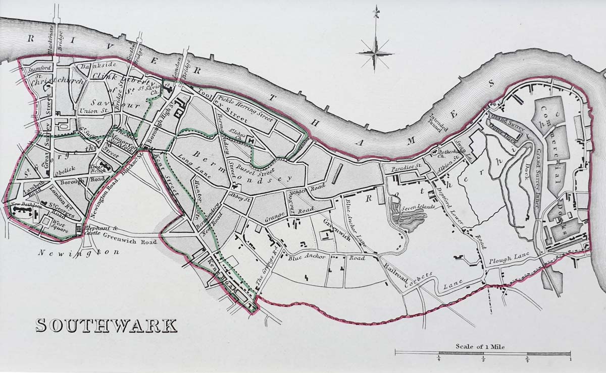
Title: Southwark
Publication: View of the Representative History of England Boundary Commission
Date: c. 1835
Description: 19th century town plan of Southwark by Robert Creighton, engraved by John and Charles Walker.
Condition: Original Outline Hand-Colouring, which shows the boundary’s of the borough. Mounted.
Image size: 110 x 175mm
4.25 x 7 " approx.
SOLD
Order No. 3738
19th century Town Plan of Southwark for sale
Opening Hours:
Mon - Closed
Tues-Fri 10am-1.30pm, 2.30-5.30pm
Sat 10am-1.30pm
© Devonshire Fine Art
Mon - Closed
Tues-Fri 10am-1.30pm, 2.30-5.30pm
Sat 10am-1.30pm
© Devonshire Fine Art
 Free UK Mainland Delivery*
Devonshire Fine Art
9 Church Street
Modbury
Devon PL21 0QW. UK
01548 830872
9 Church Street
Modbury
Devon PL21 0QW. UK
01548 830872


