
Islands of Tonga Chart by Thomas Bowen after Capt. James Cook
Back to: Pacific Islands | Sea Charts
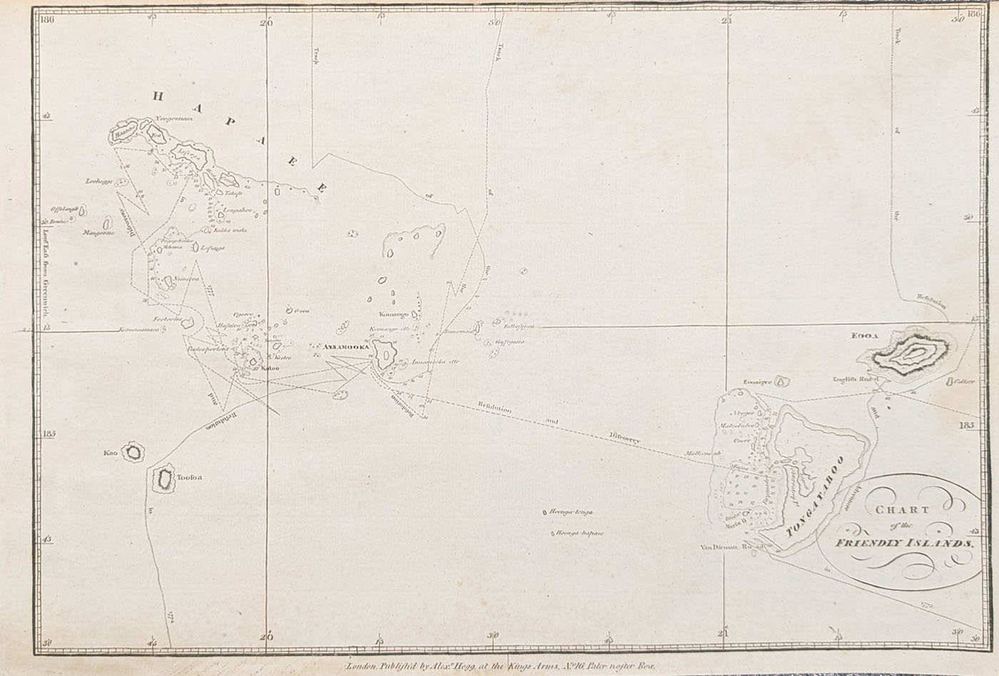
Title: Chart of the Friendly Islands
Publication: Alexander Hogg, London
Date: c. 1785
Description: From a sketch made by Captain James Cook when he discovered the Islands of Tonga in June and July 1777. This chartdepicts the courses of Resolution and Discovery between the isalnds of Tonga including Tongatapu (Tongataboo) Fooa, Annanooka, Toosoa, Kao, KotooHanne and Foa. Cook discovered the Islands of Tonga on his Second voyage in 1773, he named them, the Friendly Islands, and returned to Tonga in 1774 on his way back from New Zealand to England. Features both lines of Latitude and Longitude only recently detreminable at se thanks to John Harrison's invention of a chronometer that could keep time at sea with sufficient accuracy to be practical for determining longitude was recognized in 1773.
Condition: Bold imprint, good paper, close top margin, uncoloured.
Image size: 230 x 330mm, 9 x 13" approx.
SOLD
Order No. 4923
18th century chart of the Islands of Tonga after Capt. Cook
Mon - Closed
Tues-Fri 10am-1.30pm, 2.30-5.30pm
Sat 10am-1.30pm
© Devonshire Fine Art
 Free UK Mainland Delivery*
9 Church Street
Modbury
Devon PL21 0QW. UK
01548 830872


