
Tongataboo or Tongatapu Chart by Thomas Bowen after Capt. James Cook
Back to: Pacific Islands | Sea Charts
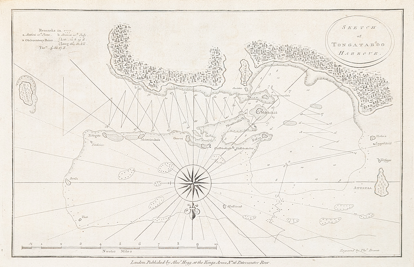
Title: Sketch of Tongataboo Harbour
Publication: Alexander Hogg, London
Date: c. 1785
Description: From a sketch made by Captain James Cook when he visited Tongataboo (Tongatapu) in June and July 1777. This chart features the western inner harbour and soundings. Cook discovered the Islands of Tonga on his Second voyage in 1773, he named them, the Friendly Islands, and returned to Tonga in 1774 on his way back from New Zealand to England. Features a compass rose, rhumb lines a scale of nautical miles and some navigational remarks.
Condition: Bold imprint, good paper reasonable margins, uncoloured.
Image size: 230 x 345mm, 9 x 13.5" approx.
SOLD
Order No. 4924
Click here for framing suggestions
18th century chart of Tongatapu after Capt. Cook
Opening Hours:
Mon - Closed
Tues-Fri 10am-1.30pm, 2.30-5.30pm
Sat 10am-1.30pm
© Devonshire Fine Art
Mon - Closed
Tues-Fri 10am-1.30pm, 2.30-5.30pm
Sat 10am-1.30pm
© Devonshire Fine Art
 Free UK Mainland Delivery*
Devonshire Fine Art
9 Church Street
Modbury
Devon PL21 0QW. UK
01548 830872
9 Church Street
Modbury
Devon PL21 0QW. UK
01548 830872


