
Antique Map of London 1851 by James Reynolds
This original antique map of London dates from 1851 and was published by James Reynolds at 174 The Strand, London. Entitled Reynolds Splendid Map of London with the Latest Improvements, the detailed street map shows London and the River Thames and includes a street index. Engraved by Martin of Dyer's Buildings, Holborn, this large 19th-century antique map of London measures approximately 400 x 750mm and is laid on linen.
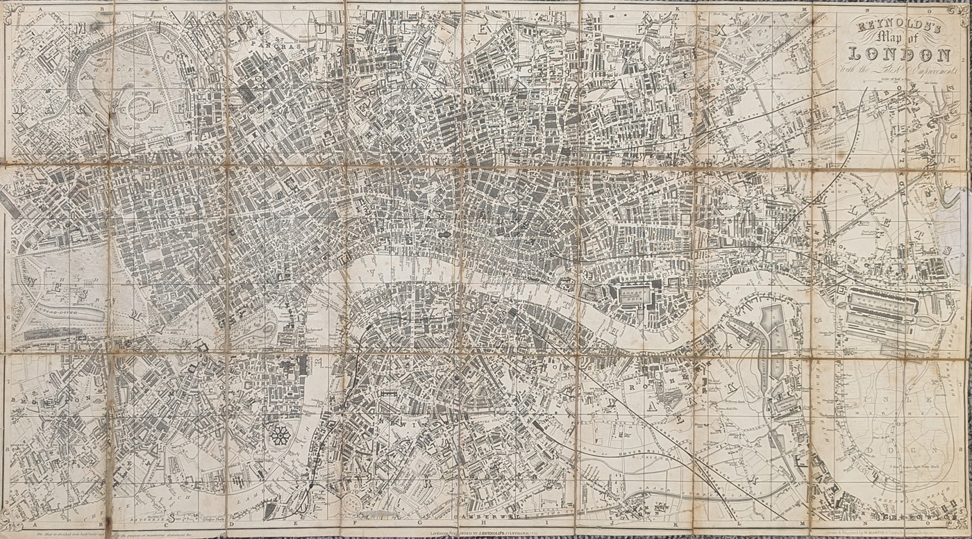
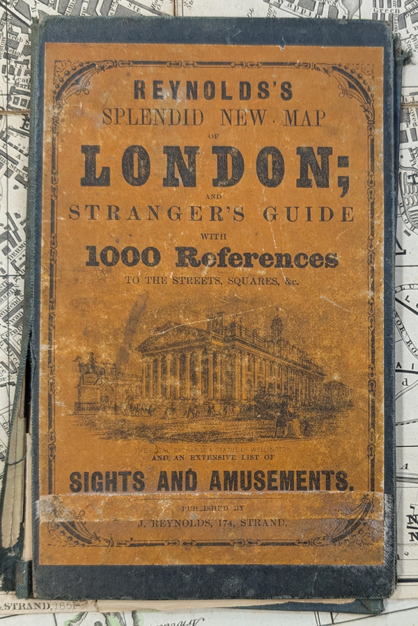
Reynolds Splendid Map of London with the Latest Improvements, 1851
Description: Detailed 1851 street map of London and the River Thames, with a street index. The map was engraved by Martin of 8 Dyer's Buildings, Holborn, and was published by James Reynolds at 174 The Strand. The original hardback cover is present but detached.
Publisher: J. Reynolds, 174 The Strand, London
Date: 1851
Engraver: Martin, 8 Dyer's Buildings, Holborn
Coverage: London and the River Thames
Features: Detailed street map with street index
Format: Folding map laid on linen
Image size: 400 x 750mm (approximately 15.75 x 29.5 inches)
Condition: Folding copy, laid on linen, with wear and some loss to the folds. Two splits have been repaired and a missing section at the right edge has been replaced with a facsimile. Priced accordingly.
£175.00
Original antique map of London, 1851
Order No. 4625
Free UK Mainland Delivery
Conservation framing available for this antique London map. We can advise on suitable mounting, glazing and framing options for long-term display and protection.
James Reynolds and Victorian London Maps
This original antique street map of London was published by James Reynolds in 1851, during the Victorian period. It provides a detailed view of London and the River Thames, with numerous streets, roads and landmarks identified. The map also includes a useful street index, making it both an attractive historical document and a fascinating reference to the development of London in the mid-nineteenth century.
Published from Reynolds' premises at 174 The Strand, London, and engraved by Martin of 8 Dyer's Buildings, Holborn, the map is an excellent example of Victorian London cartography. Measuring approximately 400 x 750mm, it is a substantial antique map that would make an impressive addition to a collection of historic London maps. The folding map is laid on linen and retains its original period character, with condition issues described below.
Conservation Framing for This Antique London Map
This 1851 James Reynolds map measures approximately 400 x 750mm and can be displayed in a suitable conservation frame. We can advise on appropriate mounting, glazing and framing options designed for the long-term display and protection of an original antique map.
See our conservation framing options for antique maps
Related Antique Maps of London
- Antique Map of London c.1879 by G. W. Bacon
- Antique Map of London by Thomas Moule
- Antique Map of London and Westminster
Frequently Asked Questions
Who published this antique map of London?
The map was published by James Reynolds at 174 The Strand, London.
When was the London map published?
This antique map dates from 1851.
Who engraved the map?
The map was engraved by Martin of 8 Dyer's Buildings, Holborn.
How large is the map?
The map measures approximately 400 x 750mm, or 15.75 x 29.5 inches.
Can the map be framed?
Yes. We can advise on suitable conservation framing options for this original antique London map.
Related Antique Maps of London
Mon - Closed
Tues-Fri 10am-1.30pm, 2.30-5.30pm
Sat 10am-1.30pm
© Devonshire Fine Art
 Free UK Mainland Delivery*
9 Church Street
Modbury
Devon PL21 0QW. UK
01548 830872


