
Antique Map of London c.1835–1836 – S.D.U.K.
Back to: Antique Maps of London
This detailed antique map of London was published by the Society for the Diffusion of Useful Knowledge (S.D.U.K.) circa 1835–1836. The map extends from Kensington Gardens and Chelsea in the west to Greenwich in the east, and from Holloway in the north to Lambeth in the south. It is later hand coloured and includes numerous views and important London landmarks.
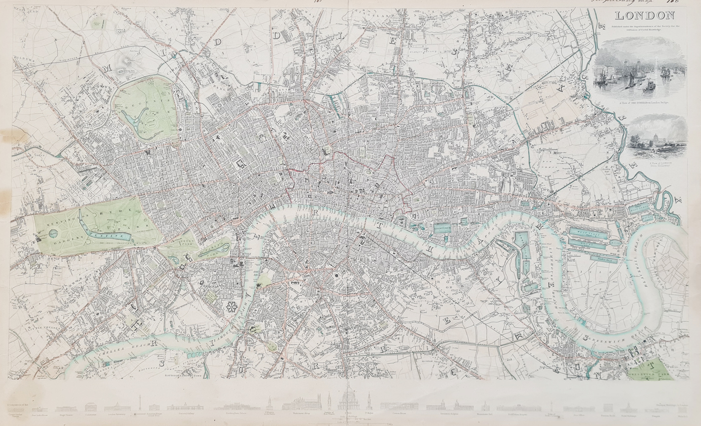
Antique Map of London c.1835–1836
This detailed antique map of London was published by the Society for the Diffusion of Useful Knowledge (S.D.U.K.) circa 1835–1836, towards the end of the reign of William IV.
The map covers a substantial area of London, extending from Kensington Gardens and Chelsea in the west to Greenwich in the east, and from Holloway in the north to Lambeth in the south.
The map is particularly attractive for its numerous engraved views and London landmarks. Two large vignettes appear at the top, showing The Tower from London Bridge and London from Holloway. A further series of 25 smaller views runs along the lower margin, including Covent Garden Theatre, the Colosseum, National Gallery, Buckingham Palace, Westminster Abbey, St. Paul's Cathedral, Greenwich Hospital, Royal Exchange and Whitehall.
Condition
Folding copy as published, with repairs to the edges, light creases, some old tape marks, later hand colouring, some age toning and an old ink inscription to the upper right margin.
Antique Map of London for Sale
£875.00
Order number: 4592
Image size: 390 × 642 mm (15.5 × 25.25 inches) approximately.
Free UK Mainland Delivery
Professional framing is also available. See our antique map framing options.
About this Antique Map of London
Published by the Society for the Diffusion of Useful Knowledge, this nineteenth-century map provides a detailed view of London during the reign of William IV. Its extensive coverage and series of engraved architectural views make it particularly interesting to collectors of London maps and British history.
London in the 1830s
This map shows London during a period of considerable expansion and change. The city was developing rapidly during the early nineteenth century, while new roads, buildings and transport connections were changing the character of the capital. The map's engraved views provide an additional record of important buildings and landmarks of London during this period.
More Antique Maps of London
Mon - Closed
Tues-Fri 10am-1.30pm, 2.30-5.30pm
Sat 10am-1.30pm
© Devonshire Fine Art
 Free UK Mainland Delivery*
9 Church Street
Modbury
Devon PL21 0QW. UK
01548 830872


