
Thomas Moule Map of London c.1836
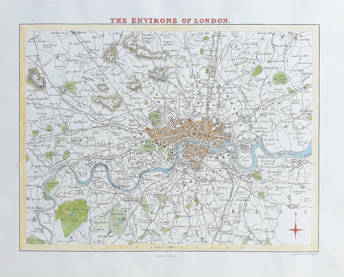
Key Details
- Title: Environs of London
- Cartographer: Thomas Moule
- Date: c.1836-48
- Publication: Barclay's English Dictionary
- Location: London and environs
- Colouring: Later hand colouring
- Image size: 270 x 210mm approximately
- Condition: Generous margins with some marginal marks and stains
- Order number: 4081
Thomas Moule Map of London c.1836 for Sale
Price: £95.00
This original nineteenth-century map of London is available to purchase from Antique Maps Online.
Click here for framing suggestions
Environs of London by Thomas Moule
This antique map of the environs of London was produced by the English mapmaker and antiquarian Thomas Moule and dates from approximately 1836-48. It was published as part of Barclay's English Dictionary and shows London and its surrounding districts during the early Victorian period.
The map provides an interesting record of the area at a time when London was expanding rapidly. Roads, settlements and other features surrounding London can be seen in their nineteenth-century context, making the map particularly useful for collectors interested in the history and development of London.
This example has later hand colouring, generous margins and some marginal marks and stains. The relatively compact size of approximately 270 x 210mm makes it suitable for display or framing as an original nineteenth- century London map.
About This Antique London Map
This original nineteenth-century map by Thomas Moule depicts the environs of London and dates from approximately 1836-48. Published in Barclay's English Dictionary, it is later hand coloured and has generous margins.
The map offers a fascinating view of London during the early Victorian period and is an attractive original antique map for collectors of London maps, Thomas Moule maps and nineteenth-century cartography.
More Antique Maps of London
Explore our collection of antique maps of London, including historic maps of London from the seventeenth, eighteenth and nineteenth centuries.
Related Antique Maps of London
Mon - Closed
Tues-Fri 10am-1.30pm, 2.30-5.30pm
Sat 10am-1.30pm
© Devonshire Fine Art
 Free UK Mainland Delivery*
9 Church Street
Modbury
Devon PL21 0QW. UK
01548 830872


