
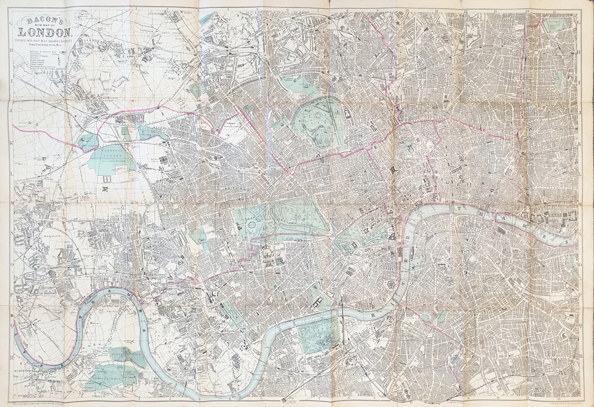
This antique map of London by G. W. Bacon dates from circa 1890 and provides a detailed view of Victorian London. Printed in colour and laid on linen, this large London street map measures approximately 665 x 965mm (26.25 x 38 inches) and is an attractive historical map for collectors of London maps and Victorian history.
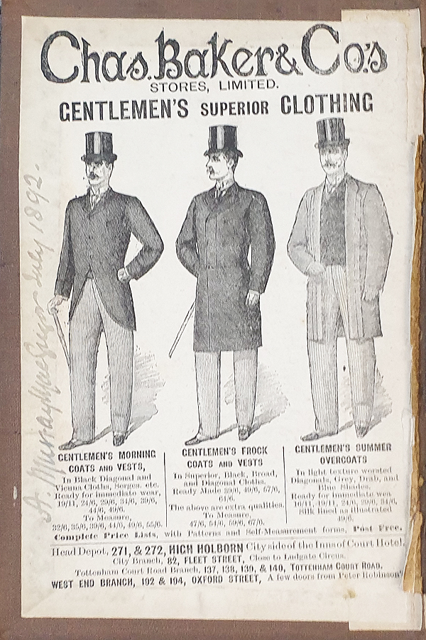
G. W. Bacon Antique Map of London c.1890
Mapmaker: G. W. Bacon & Co.
Publisher: G. W. Bacon & Co., 127 Strand, W.C.
Date: circa 1890
Title: Bacon's New Map of London Divided in to Half Mile Squares & Circles
Description: Detailed Victorian street map of London, printed in colour and laid on linen.
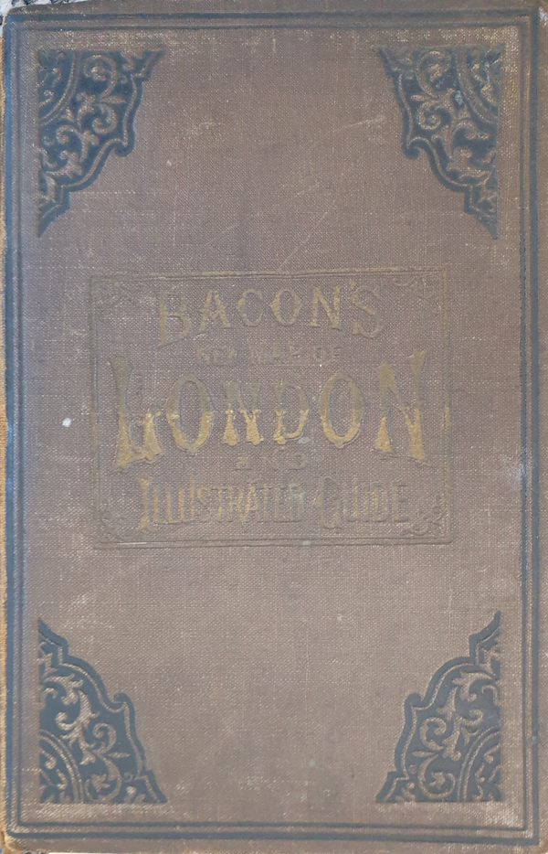
Condition: Printed colour with some wear to the hardback cover.
Size: Approximately 665 x 965mm (26.25 x 38 inches).
Order number: 3870
Price: £495.00
Free UK mainland delivery. See delivery information
Antique map framingAbout this Victorian Map of London
This large antique map of London by G. W. Bacon dates from circa 1890, during the Victorian period. It shows London in considerable detail and is divided into half-mile squares and circles to assist with locating streets and places within the capital.
Published by G. W. Bacon & Co. at 127 Strand, the map provides an interesting record of London at the end of the nineteenth century. The map is printed in colour and laid on linen, making it both a useful historical document and an attractive decorative map.
Maps of Victorian London are particularly interesting for studying the growth and development of the capital during the nineteenth century. This large-format example is suitable for collectors of antique maps, London history and Victorian ephemera, as well as for display.
More Antique Maps of London
Explore our collection of antique maps of London, including historic street maps, county maps and maps of London and Westminster.
Thomas Moule Map of London c.1836Antique Map of London and Westminster 1840 by Creighton & Walker
Mon - Closed
Tues-Fri 10am-1.30pm, 2.30-5.30pm
Sat 10am-1.30pm
© Devonshire Fine Art
 Free UK Mainland Delivery*
9 Church Street
Modbury
Devon PL21 0QW. UK
01548 830872


